| Photographs of Perth, Western Australia | |||
Kendenup - Photographs of Western Australia Kendenup is located slightly east of the Great Southern Highway, around 345 kms south-east of Perth and 22 kms north of Mount Barker. Kendenup falls within the Shire of Plantagenet and offers good views of the nearby Stirling Range and Porongurups. Kendenup is on the Albany railway line. The town name is derived from the name of the homestead built by the Hassell family in 1839. The name Kendenup is of Aboriginal origin but the meaning is obscure |
|||
| North to Tenterden | South to Mount Barker | ||
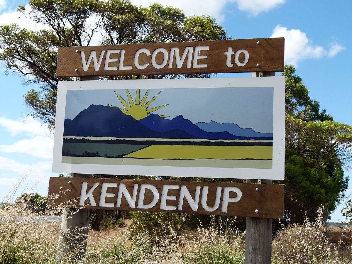 |
Kendenup - Welcome Sign This sign up on the Albany Highway announces the presence of Kendenup. December 2016. Photos Ref: KEND001 |
||
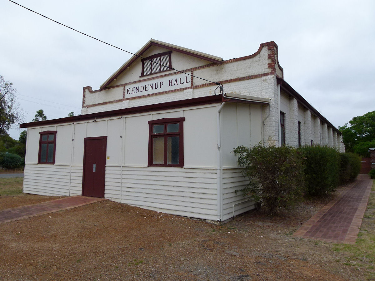 |
Kendenup - Hall Hassell Avenue runs alongside the railway line at the end of the feeder road into town, Beverley Road. Along this avenue are a number of buildings a few of which would go back to the days when the townsite was established. This hall was erected in 1934. December 2016. Photos Ref: KEND002 |
||
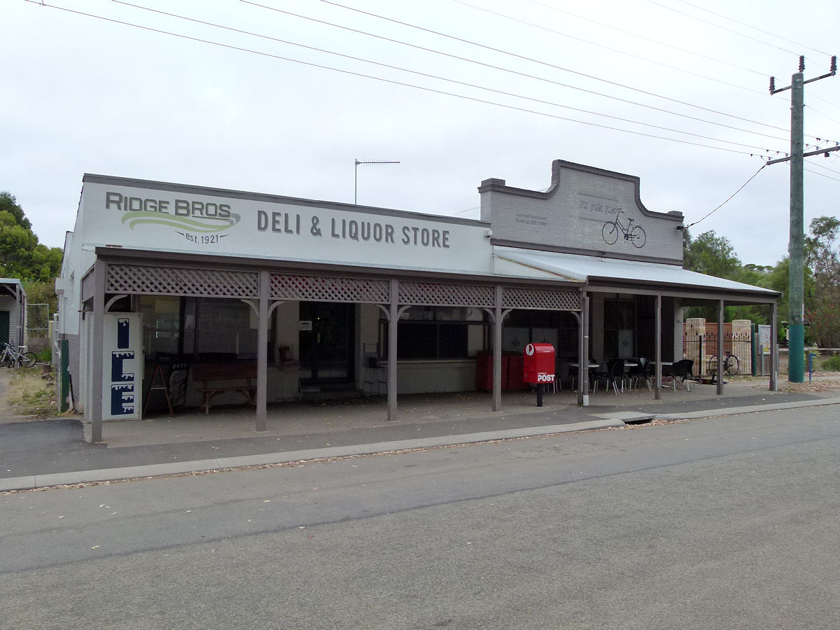 |
Kendenup - Post Office & Cafe Next to the hall is this pair of shops. To the left is Ridge Bros store Est 1921, and to the right is The Villa Table Cafe. December 2016. Photos Ref: KEND003 |
||
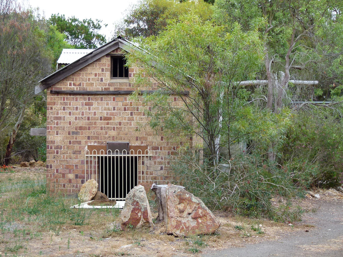 |
Kendenup - Bakery Further along Hassell Avenue and set a little way back from the road in the former bakery. This operated between 1921 - 1923. December 2016. Photos Ref: KEND004 |
||
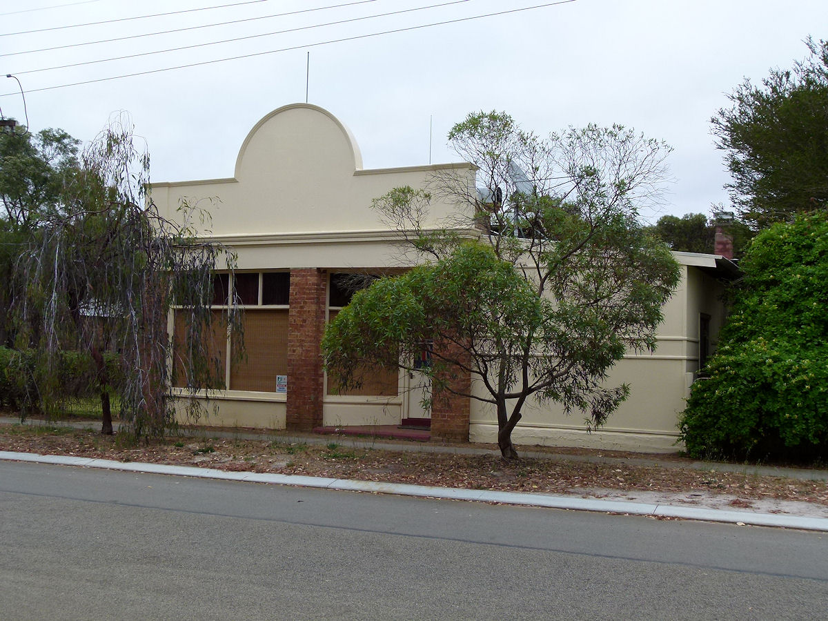 |
Kendenup - Smith's Store Adjacent to the old bakery is this former store which was erected for Sam Smith as a general store and newsagency in 1921. The store changed hands a number of times over the years and the business mix changed not least of which was being a bakery between 1949 to 1971. The place became a private residence in 1979. December 2016. Photos Ref: KEND005 |
||
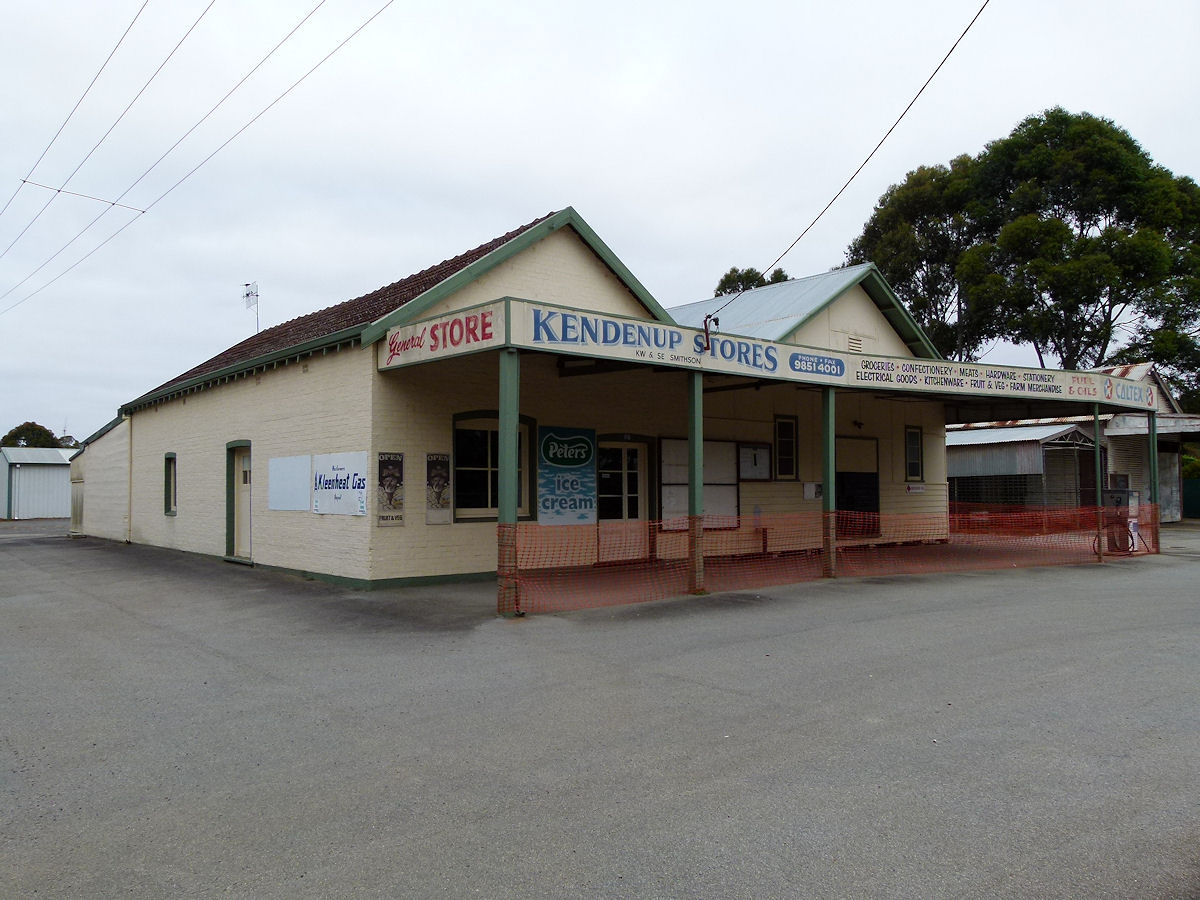 |
Kendenup - General Store Kendenup Stores, General Store, K.W. and S.E. Smithson proprietors. The store doesn't appear to be functioning any more. December 2016. Photos Ref: KEND006 |
||
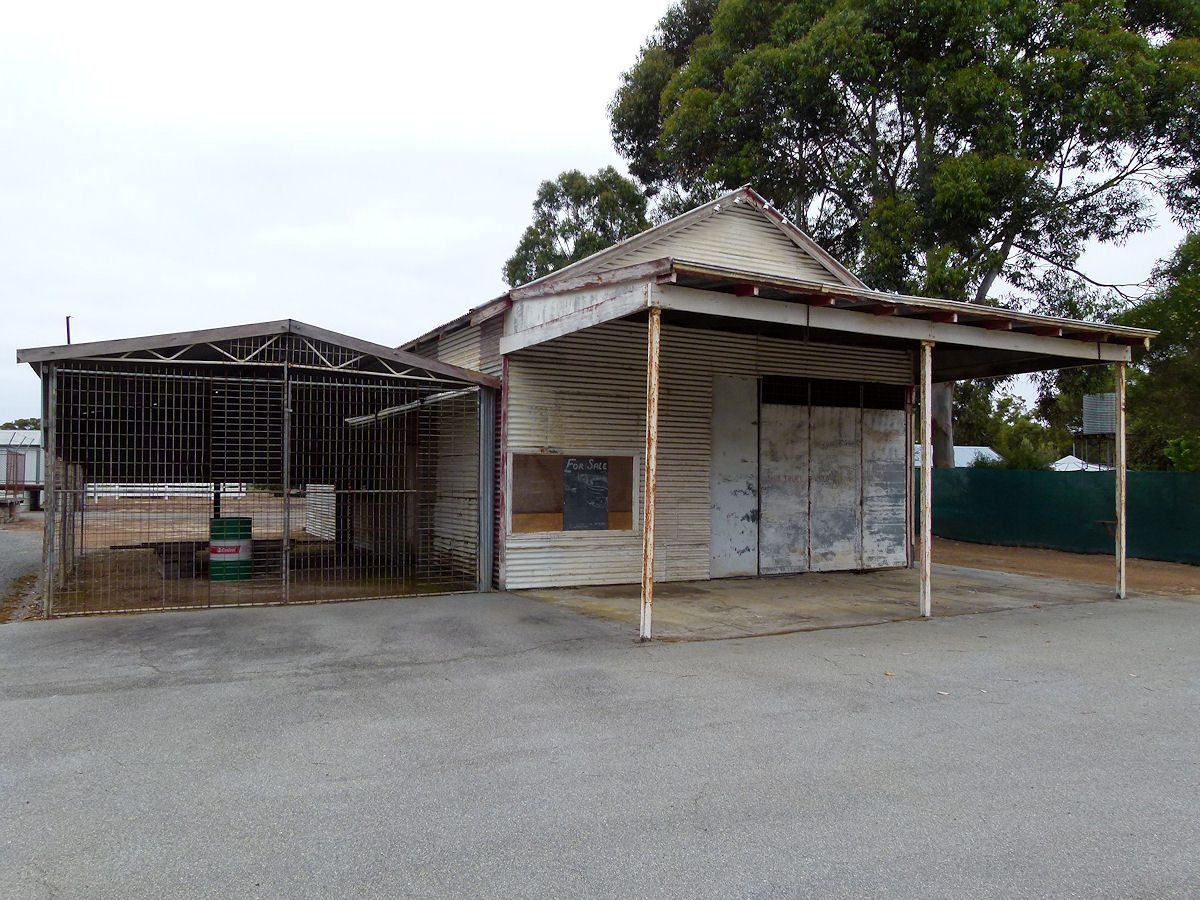 |
Kendenup - Old Garage Just next to Smithson's General Store is this old garage which seems to be currently for sale. December 2016. Photos Ref: KEND007 |
||
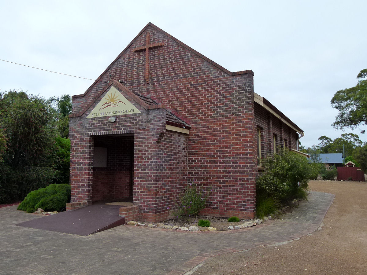 |
Kendenup - Church The last significant public-style building on this road is the Kendenup Community Church, build by the people of Kendenup in 1960. There does not appear to be a Foundation Stone. December 2016. Photos Ref: KEND008 |
||
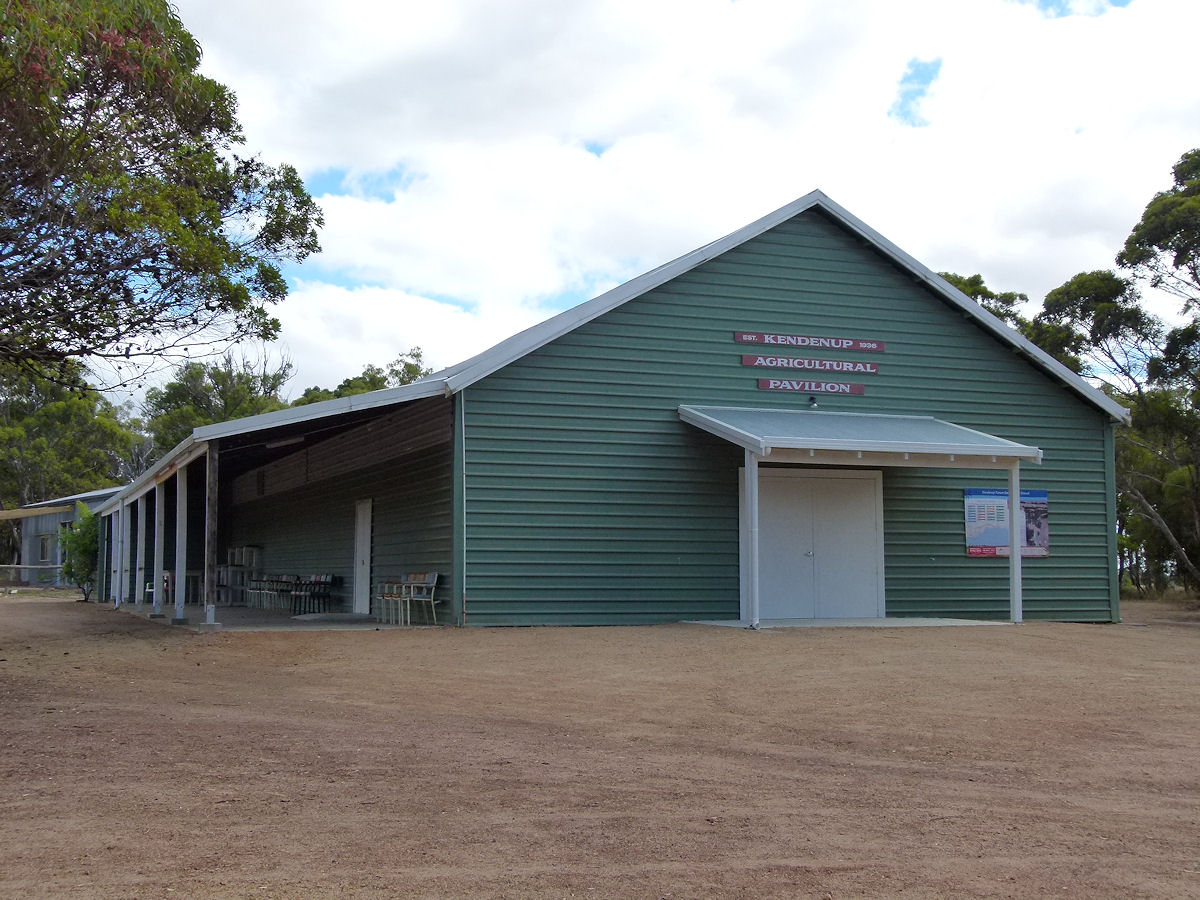 |
Kendenup - Agricultural Pavilion Just off to the right of the main feeder road in from the highway (Beverley Road) is the 1936 Agricultural Pavilion. December 2016. Photos Ref: KEND009 |
||
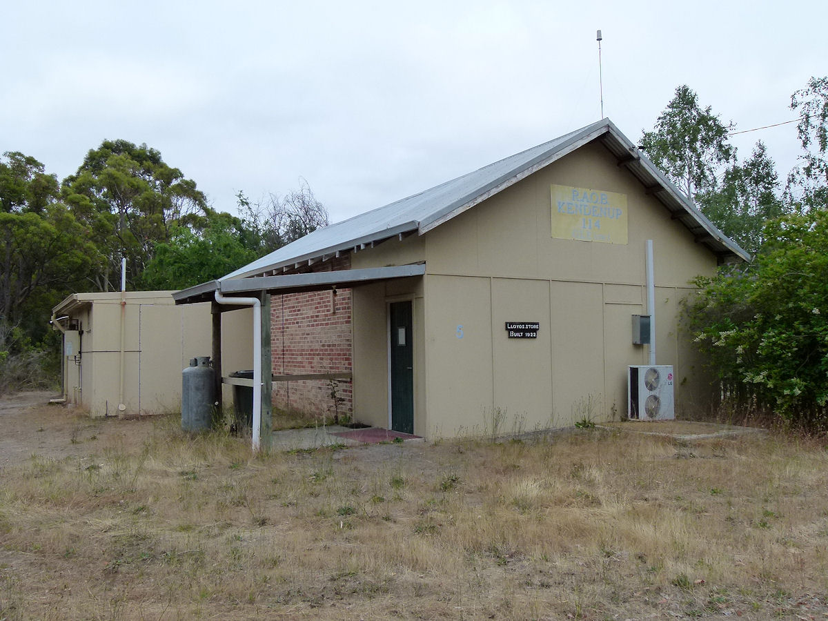 |
Kendenup - RAOB Hall Tucked away up an unsealed residential road is this former Buffaloes Hall. There is a signpost out on the road junction. This was RAOB Kendenup Lodge. It seems the building was constructed in 1922 as Lloyd's Store. December 2016. Photos Ref: KEND010 |
||
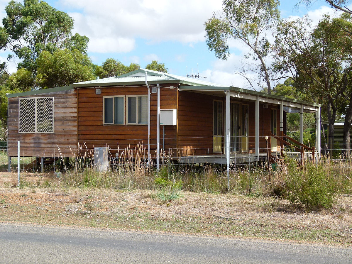 |
Kendenup - Cottage There is a real mix of dwellings in town ranging from the most humble to quite sumptuous. This one looks very pleasant but is not representative of general town housing style. December 2016. Photos Ref: KEND011 |
||
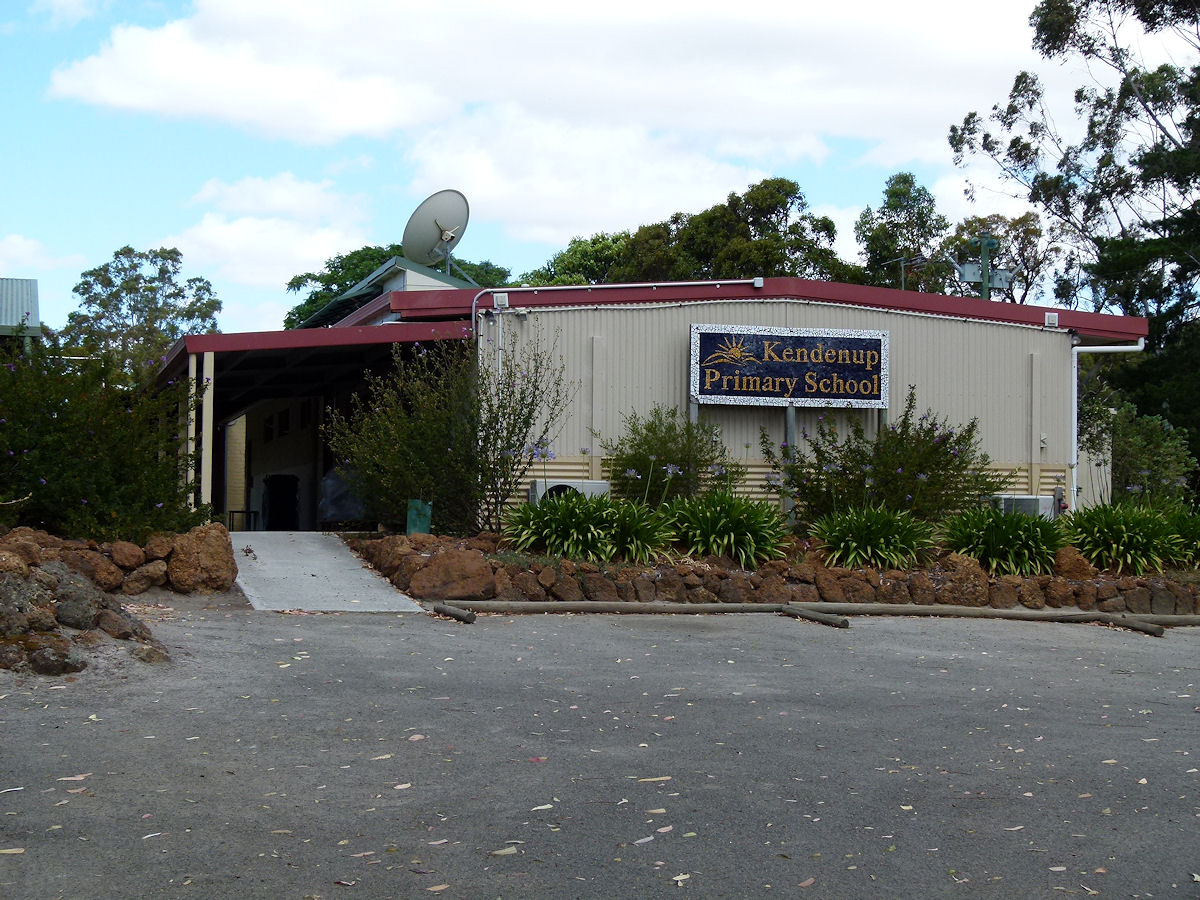 |
Kendenup - School The neat and colourful Kendenup primary school in the northern section of town. December 2016. Photos Ref: KEND012 |
||
 |
Kendenup - Railway Station If anyone is wondering what happened to the old Kendenup railway station building then here it is. In the Katanning Miniature Railway attraction is the old Kendenup station which was relocated to here. Be nice to think it came here by rail. April 2015. Photos Ref: KEND013 |
||
All images published on this website are copyright © of the webmaster. See About section for clarification and special schools permission |
|||