| Photographs of Perth, Western Australia | |||
Nangeenan - Photographs of Western Australia The locality of Nangeenan is situated on the Great Eastern Highway some 15 kms west of Merredin and 245 kms east of Perth. It is within the Shire of Merredin. A rail siding was established here in about 1898 and shortly after that settlers moved in. The townsite was gazetted in 1905. The origin of the town's name is not known but it is certainly of Aboriginal origin. Nangeenan used to be a mail distribution centre servicing towns as far away as Mukinbudin |
|||
| West to Hines Hill | East to Merredin | ||
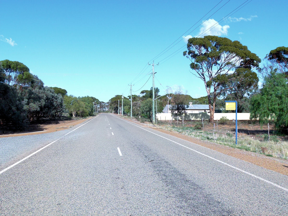 |
Nangeenan - Street The Great Eastern Highway passes through the locality of Nangeenan. March 2015. Photos Ref: NANG001 |
||
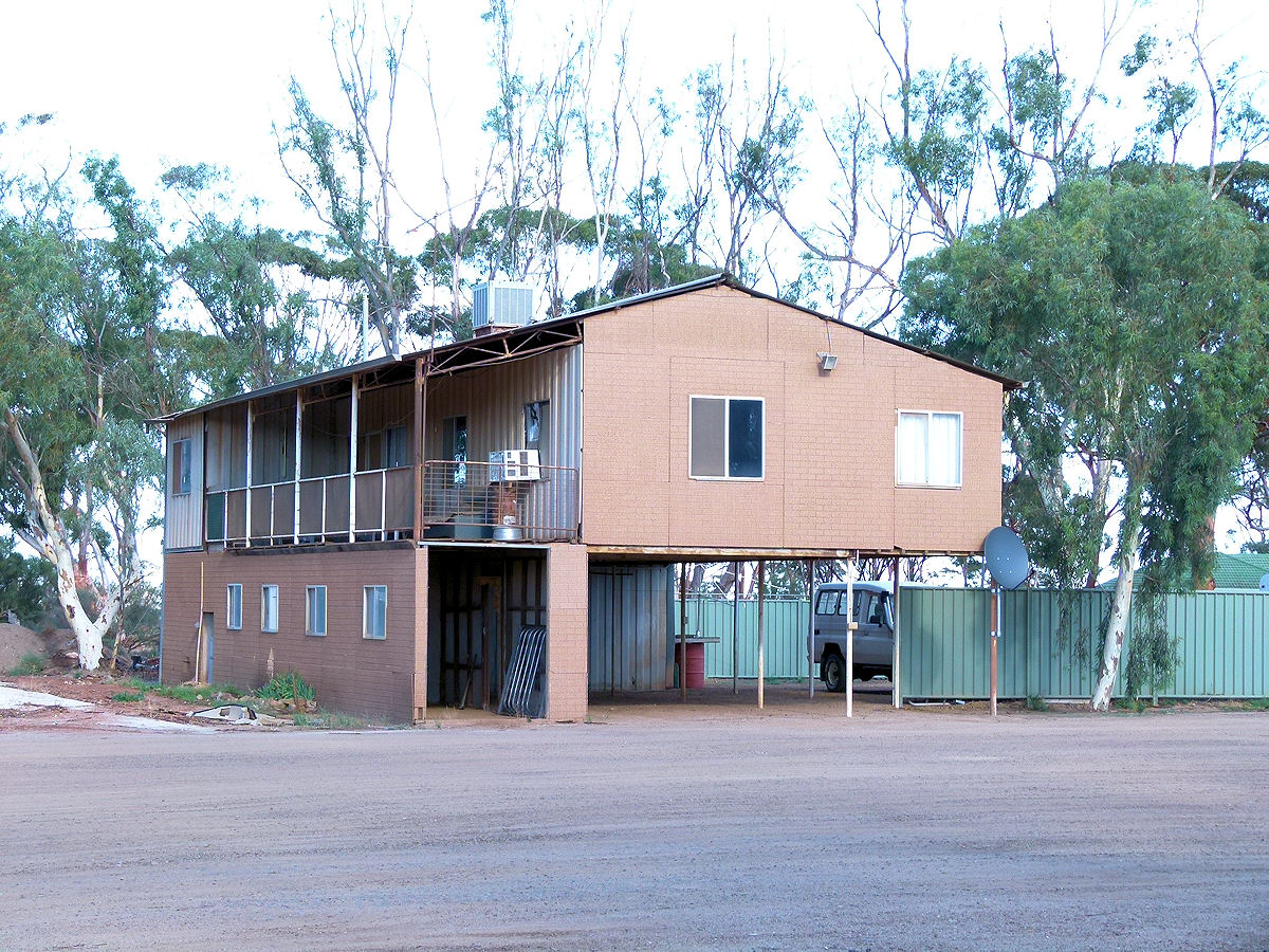 |
Nangeenan - House This interesting looking house faces the highway and is probably connected with the trucking depot at the rear. March 2015. Photos Ref: NANG002 |
||
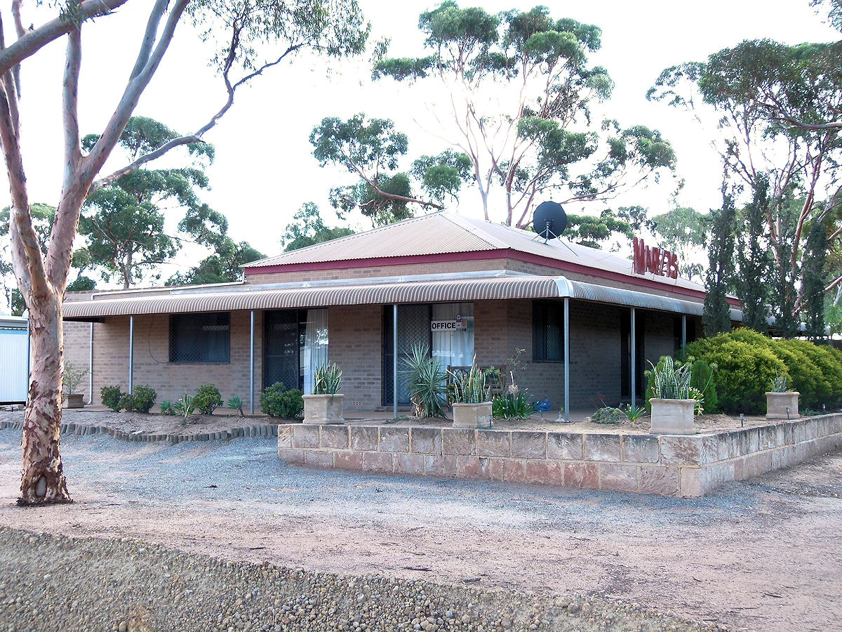 |
Nangeenan - Marley's The office of Marley's Transport which runs the local trucking business. March 2015. Photos Ref: NANG003 |
||
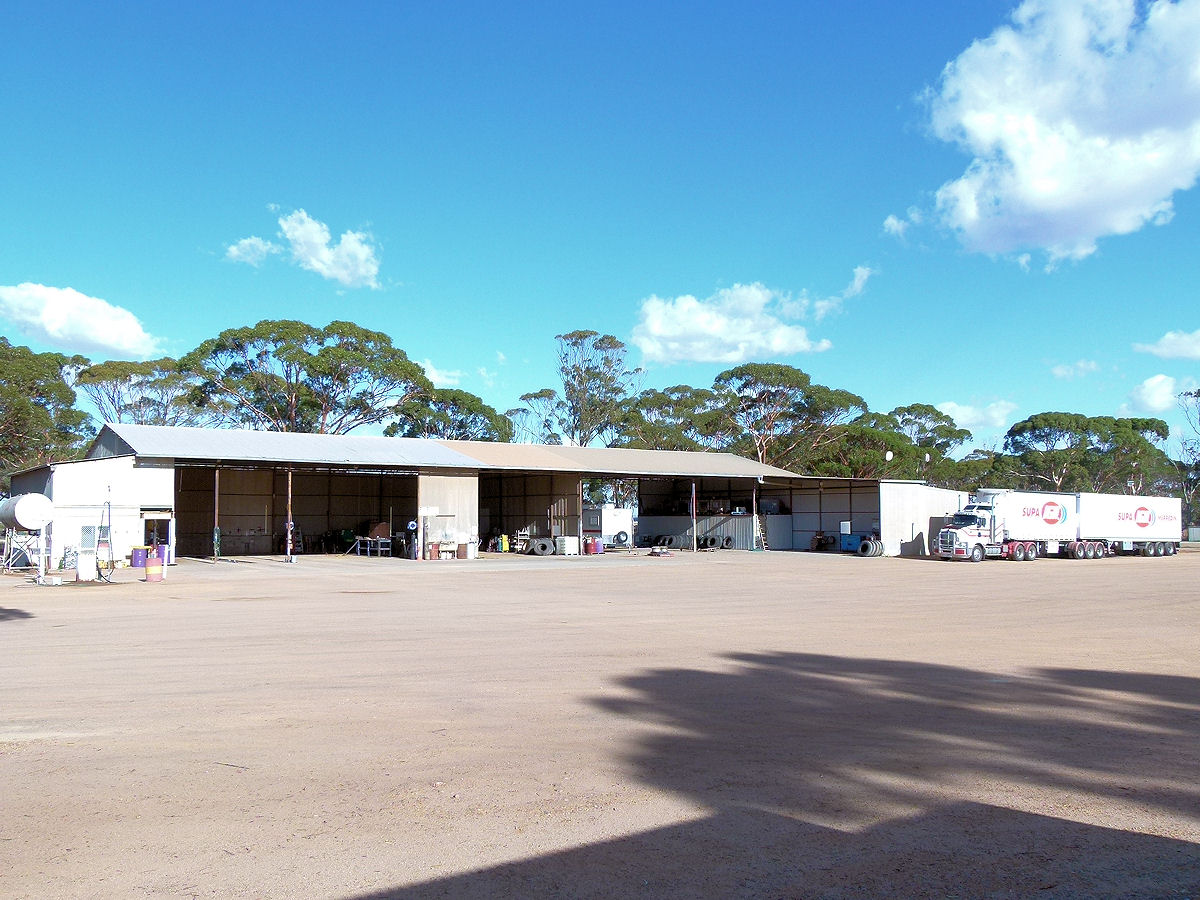 |
Nangeenan - Marley's Marley's truck yard and workshops. Plenty of space to work around here. March 2015. Photos Ref: NANG004 |
||
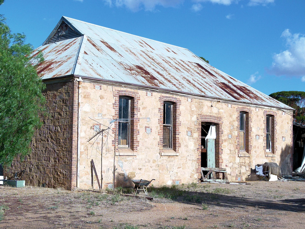 |
Nangeenan - Hall The Nangeenan Hall looks sturdy but has seen better days. It was built in 1912. March 2015. Photos Ref: NANG005 |
||
 |
Nangeenan - Derelict House A building close to the pipeline seems to be in an advanced state of demolition. March 2015. Photos Ref: NANG006 |
||
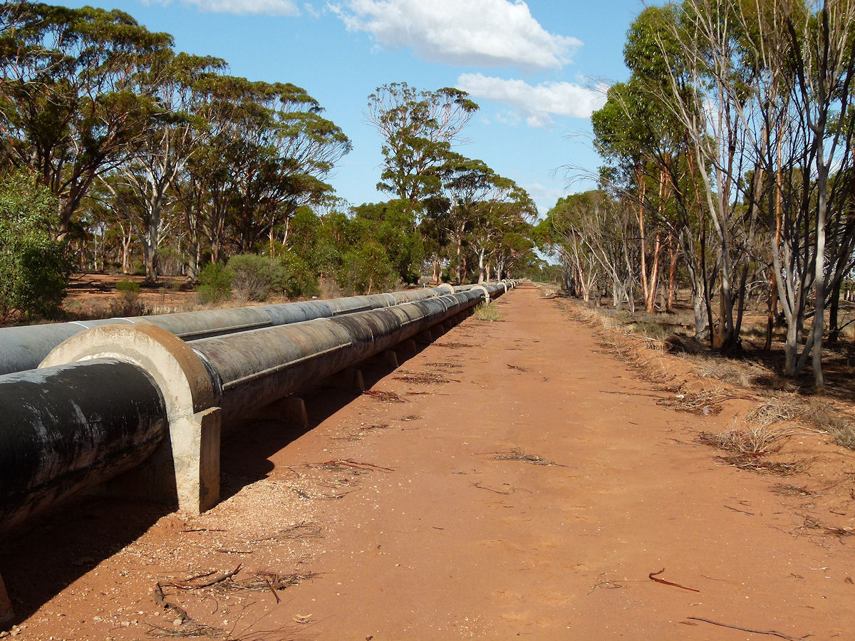 |
Nangeenan - Pipeline The Perth - Kalgoorlie pipeline follows the highway for much of its journey. March 2015. Photos Ref: NANG007 |
||
All images published on this website are copyright © of the webmaster. See About section for clarification and special schools permission |
|||