| Photographs of Perth, Western Australia | |||
Needilup - Photographs of Western Australia Needilup is a very small settlement located on the Ongerup - Jerramungup Road, about 440 kms south-east of Perth and only about 10 kms from Jerramungup. Due to demand for town lots in the area, Needilup was gazetted in 1954. For some reason, the townsite never really developed and today there is only one house. The name comes from the nearby Needilup River. Spelling variations of the river have included Needleup, Needalup, Needelup and Needilup |
|||
| West to Ongerup | East to Jerramungup | ||
 |
Needilup - Highway Running along the Ongerup - Jerramungup Road heading east, we arrive at Needilup about 10 kilometres before getting to Jerramungup. December 2016. Photos Ref: NEED001 |
||
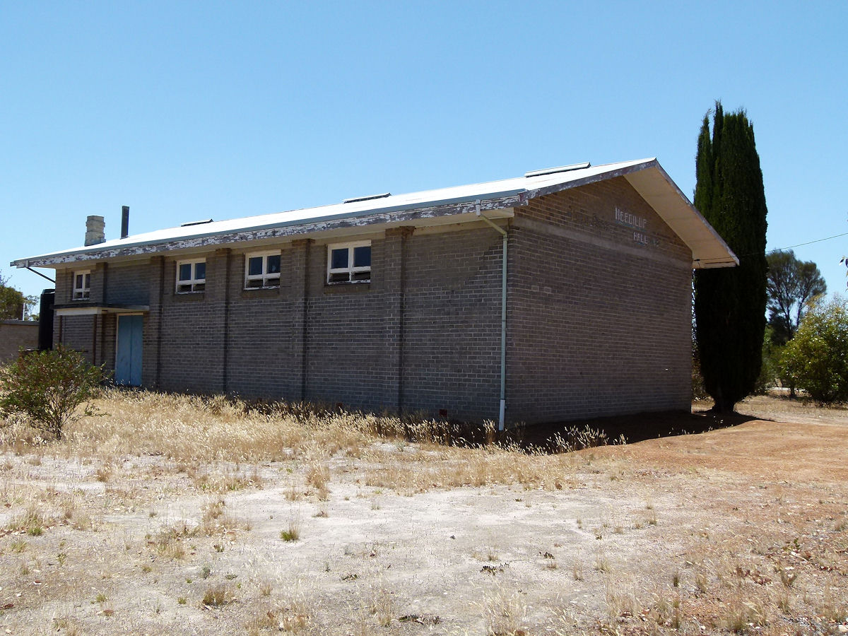 |
Needilup - Hall The Needilup Hall sits alongside the road. It has no date sign but it certainly looks to have been built in the 1950's or 60's. December 2016. Photos Ref: NEED002 |
||
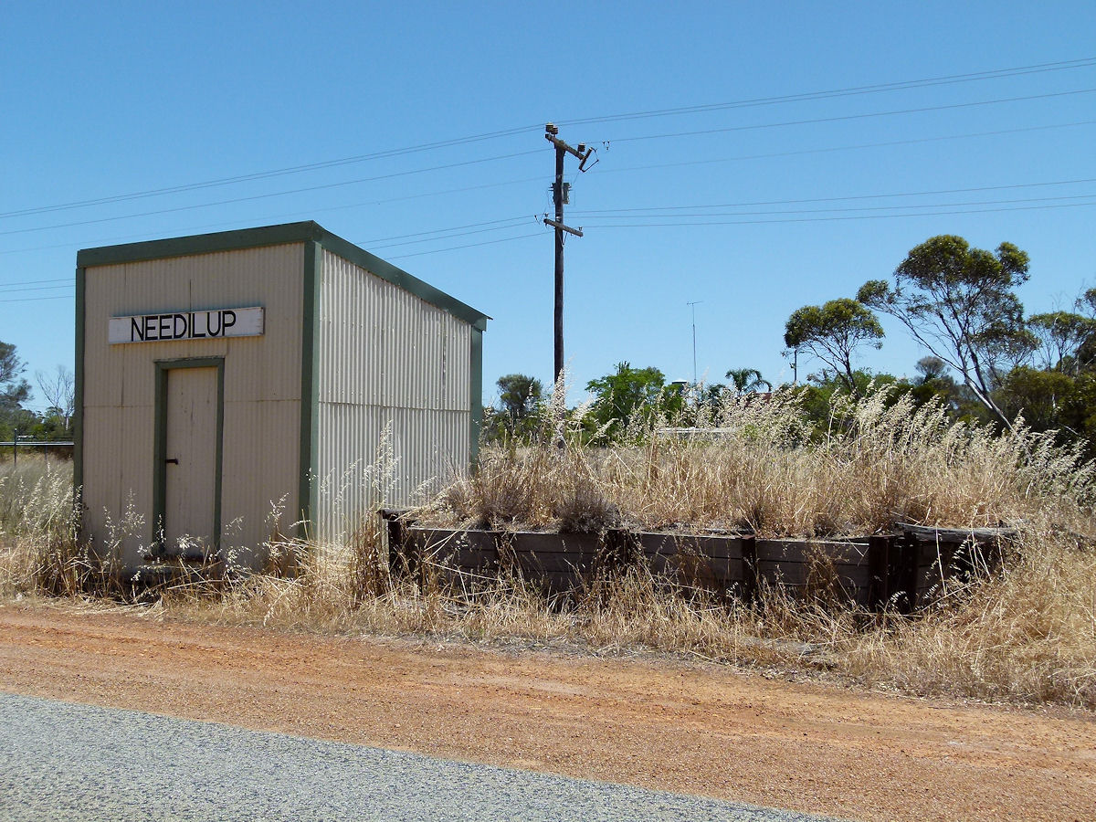 |
Needilup - Stopping Place Also alongside the road is what looks like a small railway platform and station building. The railway never extended this far so they are not. The raised area might have been built for freight road vehicles with parcels etc which could have been secured in that shed? December 2016. Photos Ref: NEED003 |
||
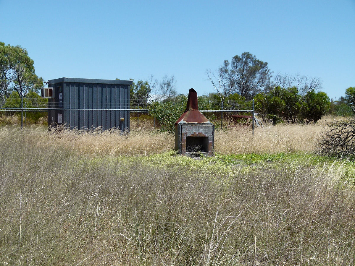 |
Needilup - Ruins Next to the stopping place is what look like ruins of an old house. Although there are not many ruins but the square of a house or shed is still evident. There is only one house in the centre of "town" and that is up behind these ruins and the hall. December 2016. Photos Ref: NEED004 |
||
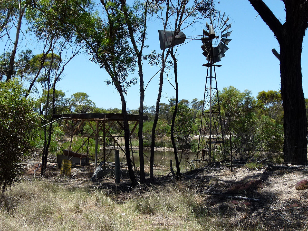 |
Needilup - Windmill Across the road from all of the above is this windmill and small water feature which would provide a shady and wet retreat for any domestic farm animals and wildlife. December 2016. Photos Ref: NEED005 |
||
All images published on this website are copyright © of the webmaster. See About section for clarification and special schools permission |
|||