| Photographs of Perth, Western Australia | |||
Doodlakine - Photographs of Western Australia Doodlakine is a small town on the Great Eastern Highway situated between Kellerberrin and Merredin. The main east-west railway line passes close by and there is also a main road running south to Bruce Rock. The town is 218 kms east of Perth. The town was gazetted as such in 1884 but moved south to the railway area in 1899. Doodlakine has been variously recorded as Doodlakin, Dodolakine, Doodlekine, Dodolakine and Dudulukine across the years |
|||
| West to Kellerberrin | South to Bruce Rock | ||
| East to Hines Hill | |||
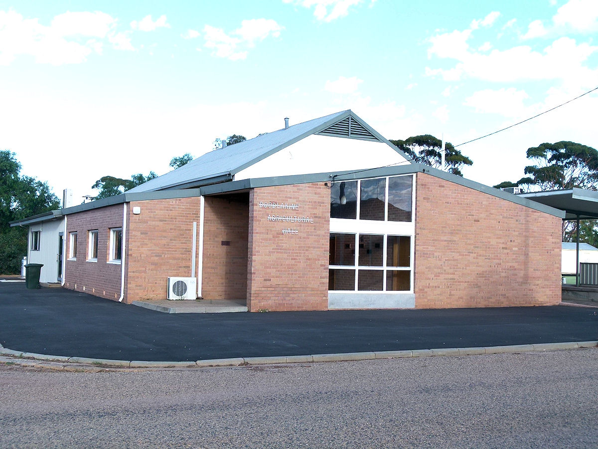 |
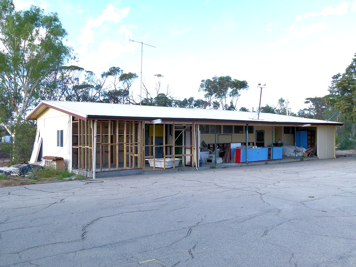
Doodlakine - Hall Here is the Doodlakine Agricultural Hall. It looks quite 1960's in its design. March 2015. Photos Ref: DOOD001 |
||
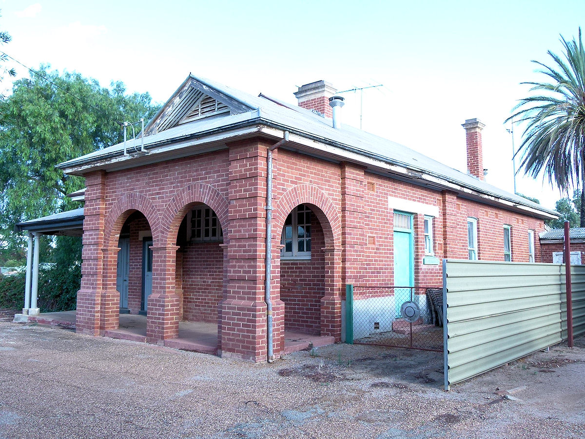 |
Doodlakine - Post Office This grand building is the former post office which dates back to 1914. This is on the main street, next door to the general store. This ceased being a post office in 1978. March 2015. Photos Ref: DOOD002 |
||
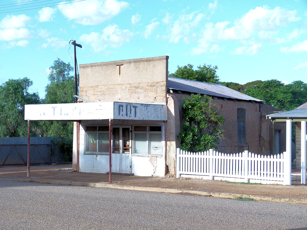 |
Doodlakine - Old Shop This former butcher's shop closed its door years ago. March 2015. Photos Ref: DOOD003 |
||
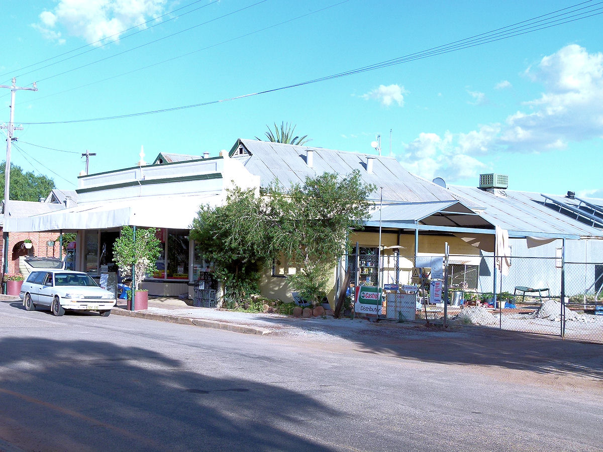 |
Doodlakine - Store The town's general store is still open for business. March 2015. Photos Ref: DOOD004 |
||
 |
Doodlakine - School Doodlakine Primary School. This opened in 1963. It seems to be closed now. March 2015. Photos Ref: DOOD005 |
||
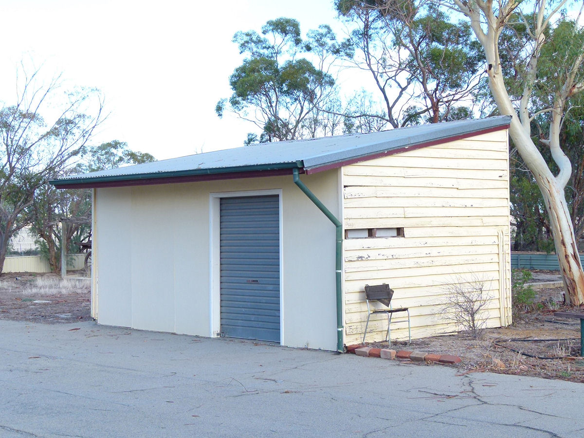 |
Doodlakine - School At out-building at the primary school. March 2015. Photos Ref: DOOD006 |
||
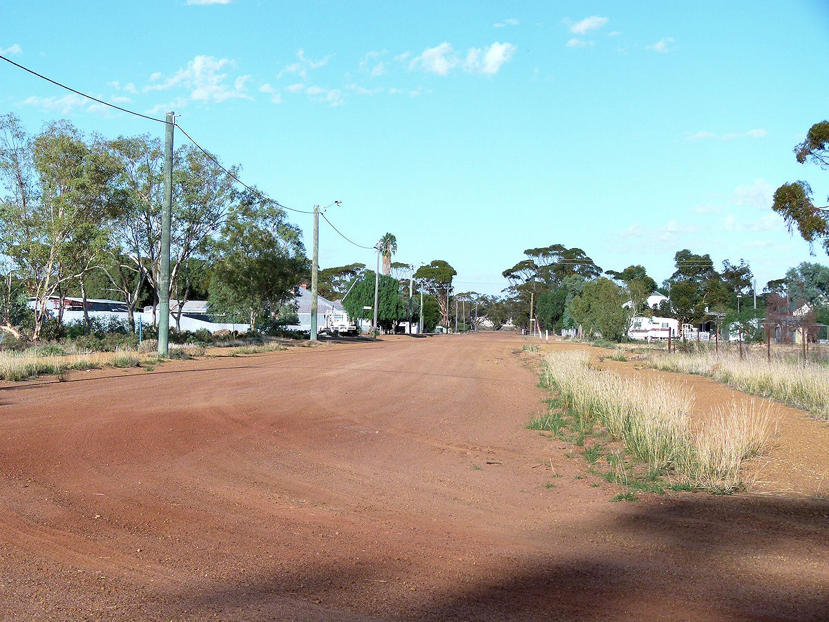 |
Doodlakine - Back Street A back street runs parallel to the highway. March 2015. Photos Ref: DOOD007 |
||
All images published on this website are copyright © of the webmaster. See About section for clarification and special schools permission |
|||