| Photographs of Perth, Western Australia | |||
Ferguson - Photographs of Western Australia The Ferguson Valley is a verdant area to the east of Dardanup and lies within the Shire of Dardanup. The locality and a nearby river were named after Dr John Ferguson who was an early property owner in the vicinity. The Ferguson region has been traditionally used as cattle raising and dairying country. Wine production is now becoming common. Its picturesque qualities and proximity to Bunbury has made this valley an increasingly popular tourist destination |
|||
| West to Dardanup | East to Wellington Mills | ||
 |
Ferguson - Locality Map A roadside information map located on the Ferguson Road not far from Dardanup. July 2018. Photos Ref: FERG001 |
||
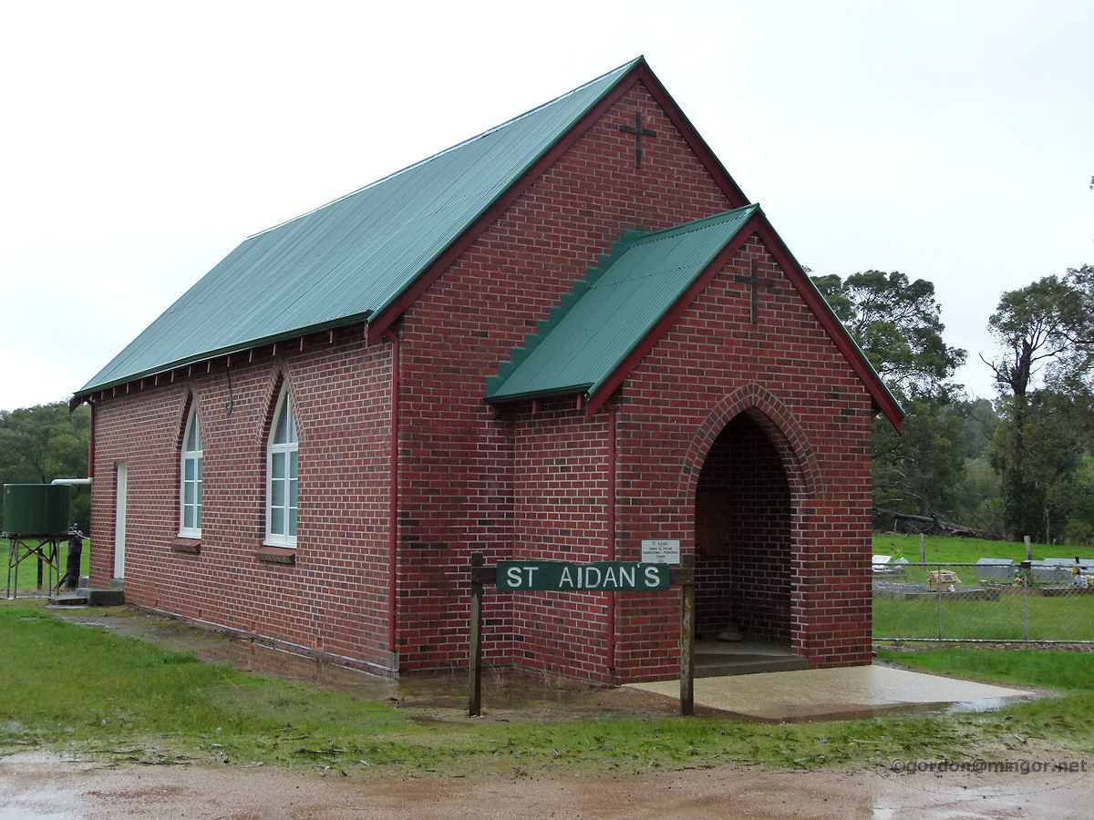 |
Ferguson - St Aidan's Church On the Ferguson Road is the St Aidan's Non-Denominational People's Church. The Foundation Stone is inscribed thus: 'St Aidan's Church of England - Congregational - Presbyterian Church, 1953'. July 2014. Photos Ref: FERG002 |
||
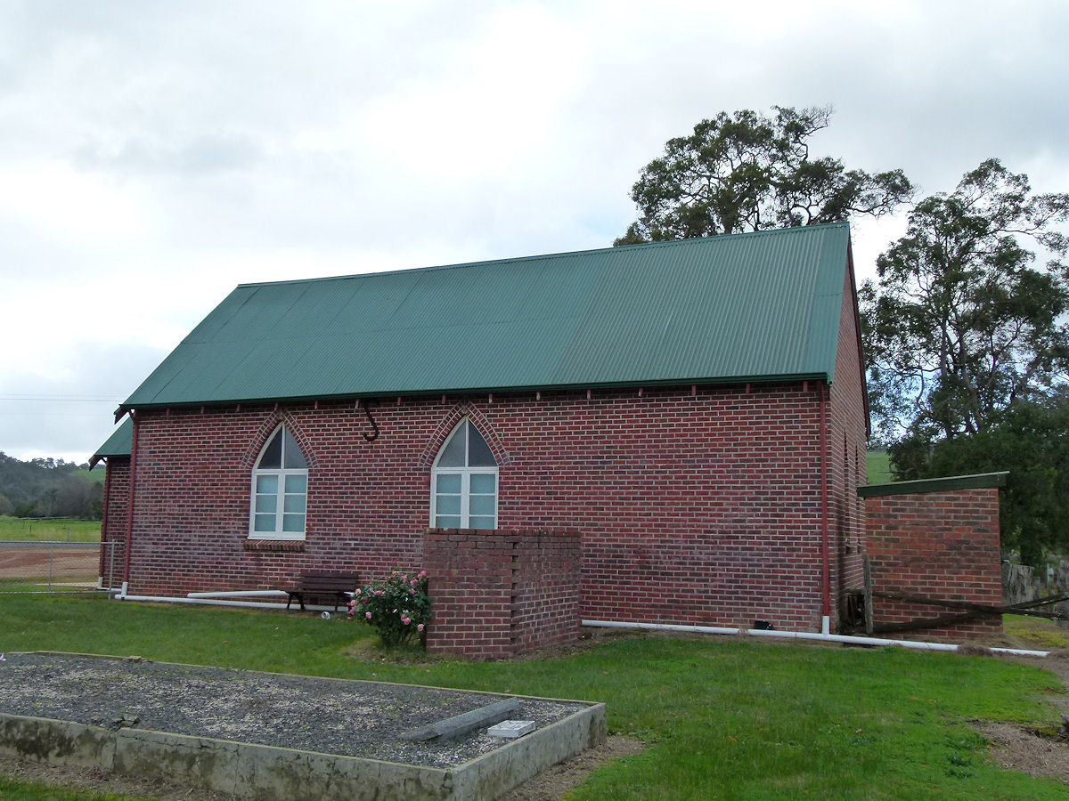 |
Ferguson - St Aidan's Church This is a side view of St Aidan's Non-Denominational People's Church. There is quite an extensive cemetery located next to the church. July 2018. Photos Ref: FERG003 |
||
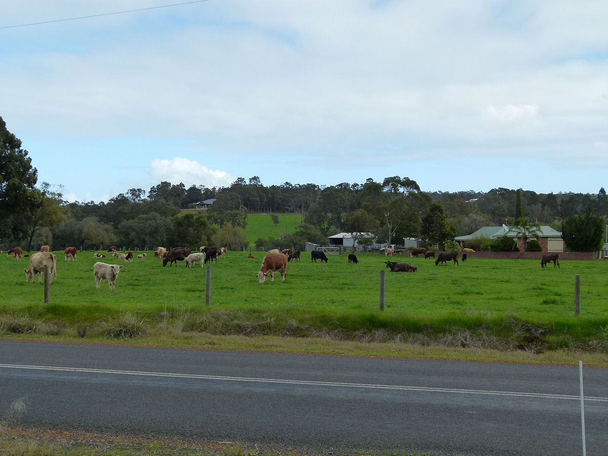 |
Ferguson - Paddock Lush green pastures and healthy cattle in the area. July 2018. Photos Ref: FERG004 |
||
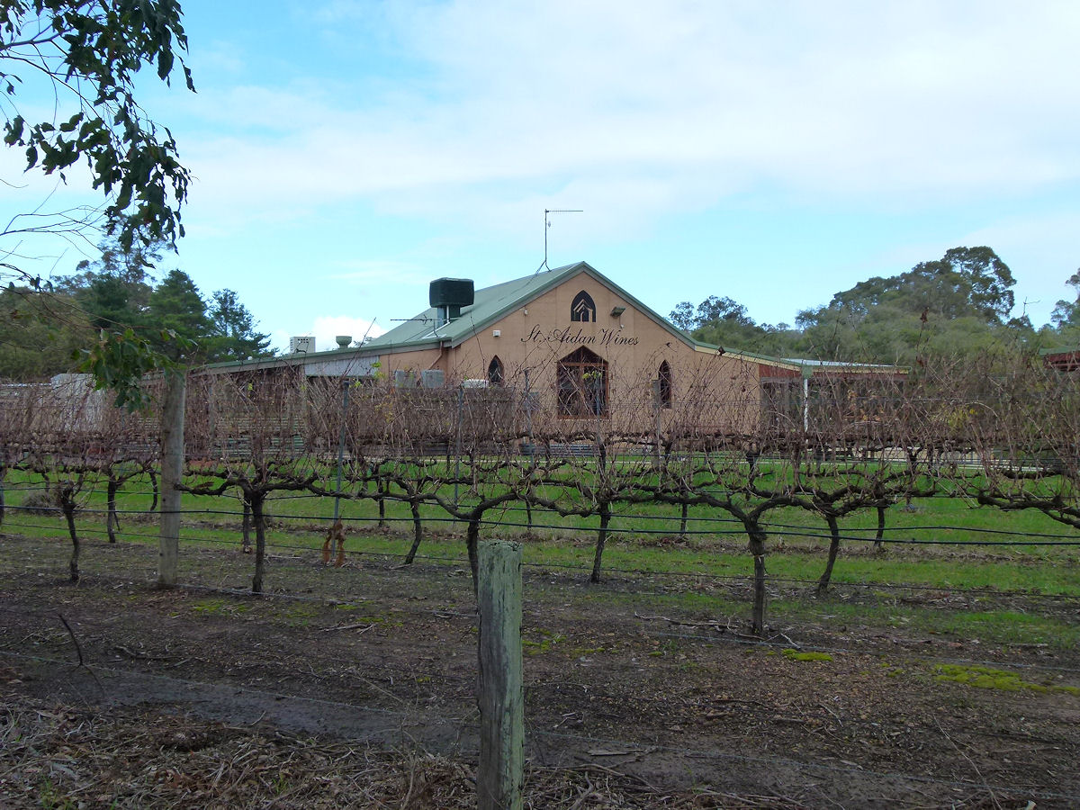 |
Ferguson - St Aidan Wines Right next to the church is St Aidan Winery. July 2018. Photos Ref: FERG005 |
||
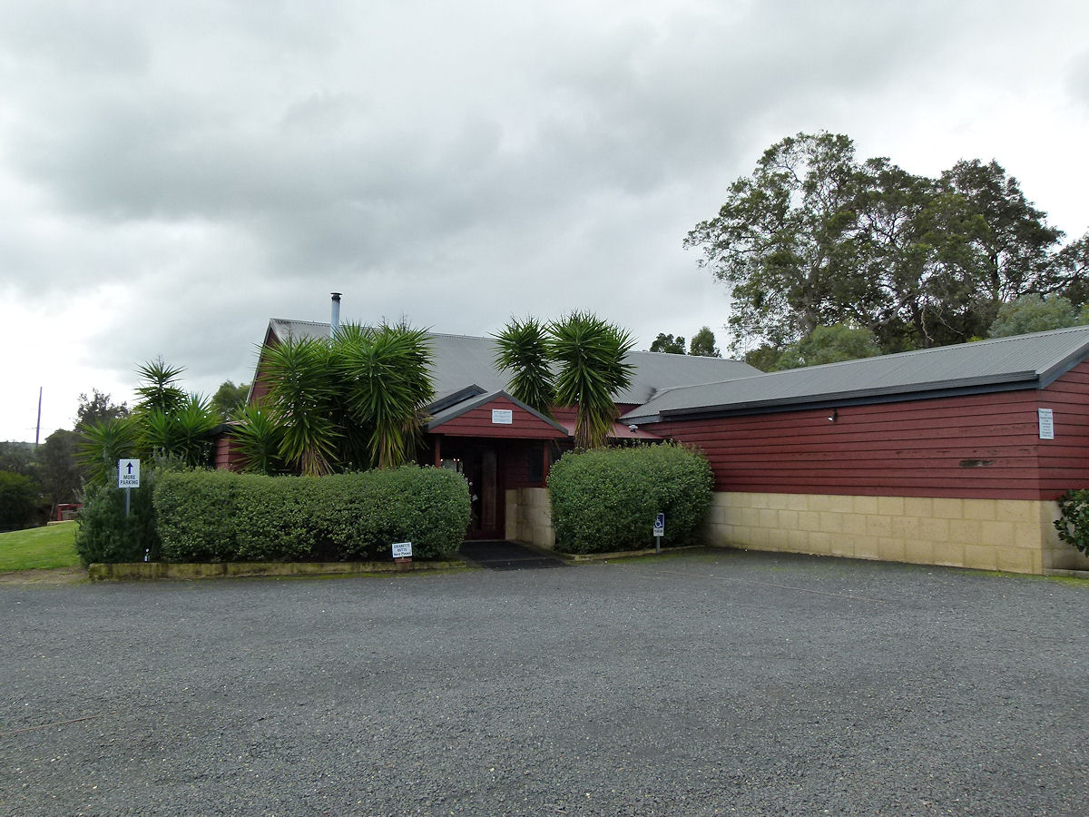 |
Ferguson - Moody Cow Brewery A short distance east from the church and winery is the Moody Cow Brewery. July 2018. Photos Ref: FERG006 |
||
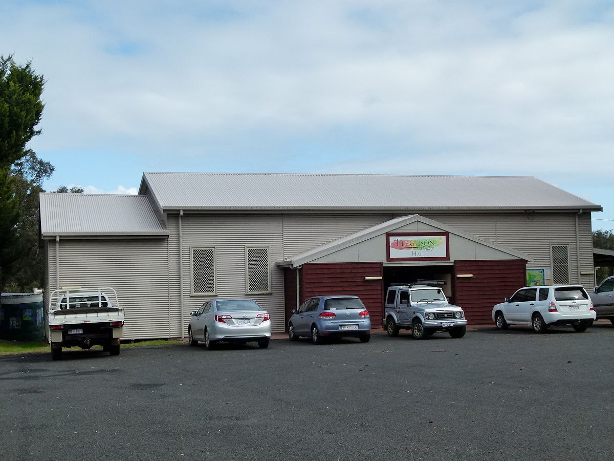 |
Ferguson - Hall Set just off the Ferguson Road is the Ferguson Valley Hall. This was built in 1966. July 2018. Photos Ref: FERG007 |
||
 |
Ferguson - Farm Sheds This reminds me of fruit sheds found in other areas but it could equally be a livestock loading dock. July 2018. Photos Ref: FERG008 |
||
All images published on this website are copyright © of the webmaster. See About section for clarification and special schools permission |
|||