| Photographs of Perth, Western Australia | |||
Gleneagle - Photographs of Western Australia Gleneagle was a small forestry settlement some 26 kms south of Armadale near the junction of the Albany Highway and Jarrahdale Road. The township was abandoned in the late 1960's. At its height, Gleneagle had a school, a hall, 15 houses, teacher quarters, a forestry office, single men's huts and workshops. During the 1961 Dwellingup and Jarrahdale bush fires, the town served as a fire fighting operational centre providing necessities to all those in battle |
|||
| North to Bedfordale | South to Bannister | ||
| East to Jarrahdale | |||
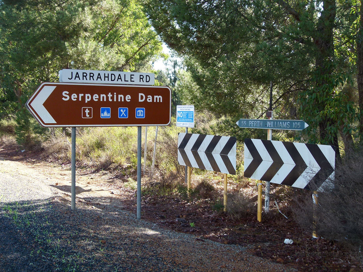 |
Gleneagle - Jarrahdale Road The junction of Albany Highway and the Jarrahdale Road. It is in this area that the settlement of Gleneagle once existed. May 2014. Photos Ref: GEAG001 |
||
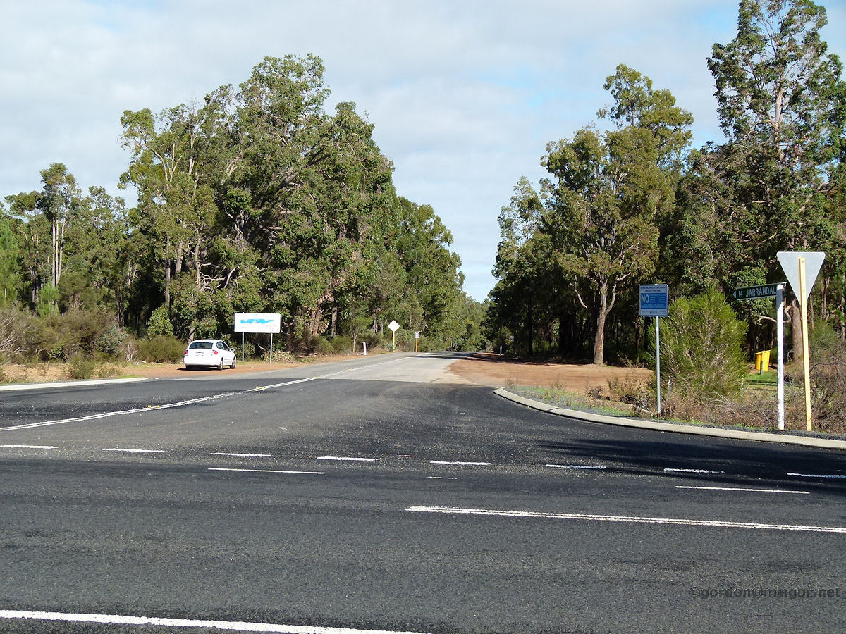 |
Gleneagle - Jarrahdale Road A view up the Jarrahdale Road from the Albany Highway junction. May 2014. Photos Ref: GEAG002 |
||
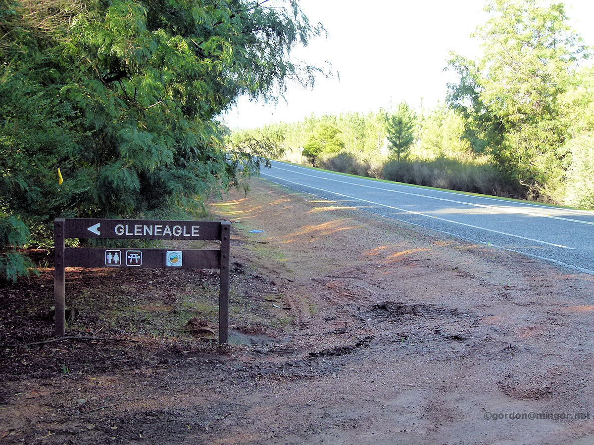 |
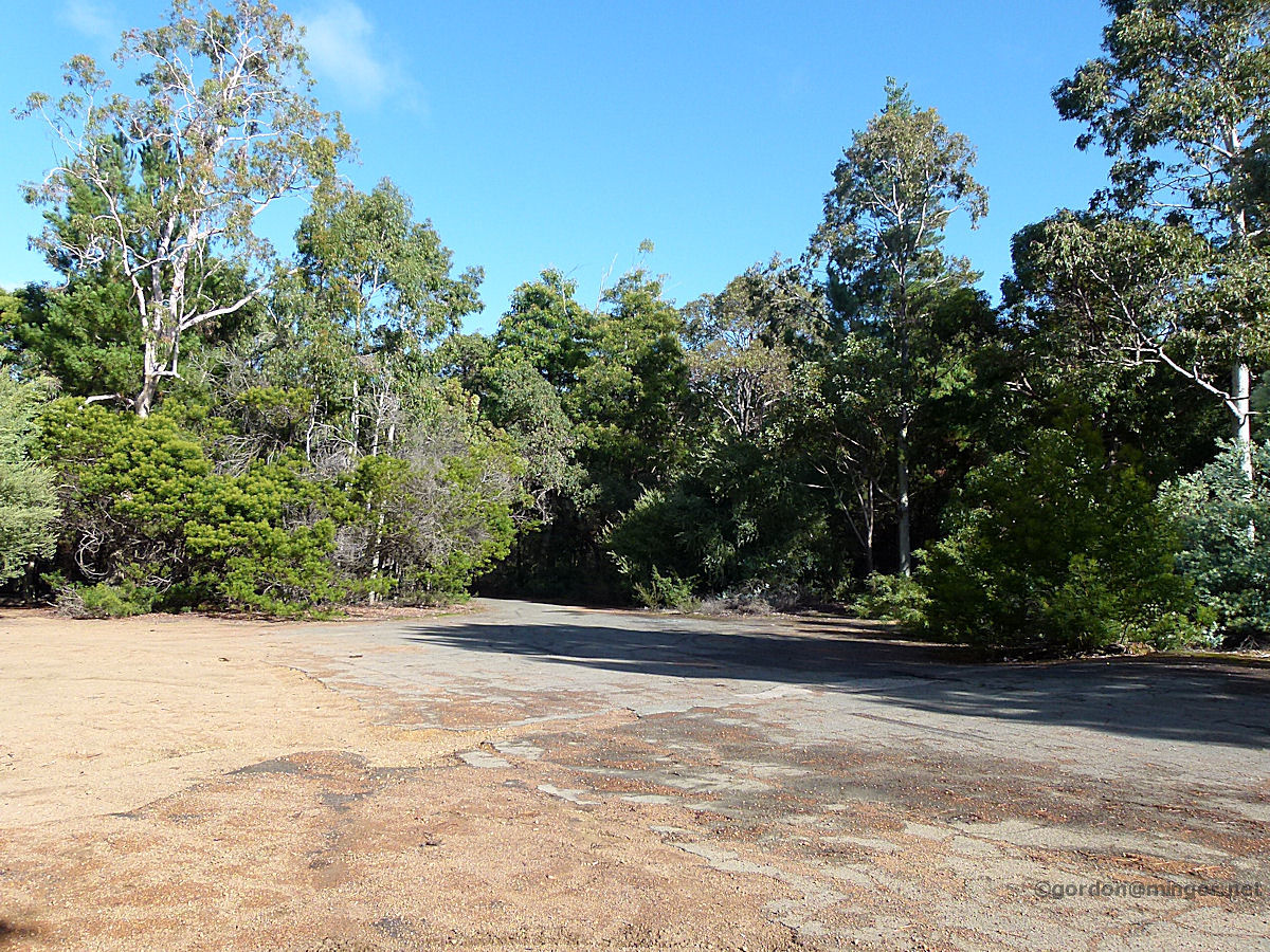
Gleneagle - Townsite Entrance Two kilometres north of the Jarrahdale Road junction is the site of the old Gleneagle townsite. These days in there is a rest area for motorists. Why Gleneagle was abandoned is somewhat of a mystery. All the buildings were removed apart from the water tower. Perhaps forestry in the Jarrahdale area simply ceased as it became unviable or demand for timber products dropped off? May 2014. Photos Ref: GEAG003 |
||
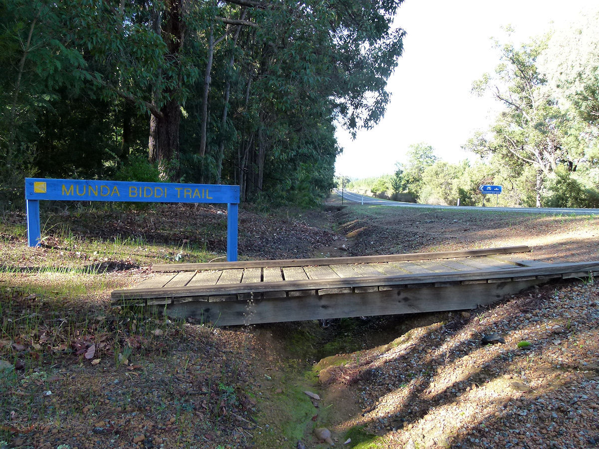 |
Gleneagle - Munda Biddi Trail Just a handful of metres north of the entrance of old Gleneagle townsite is the Munda Biddi Trail. The trail stretches for over 1,000 kilometres from Mundaring to Albany and is designed for off-road cyclists. It crosses the highway here. You can see the highway sign that signals Gleneagle in the picture. May 2014. Photos Ref: GEAG004 |
||
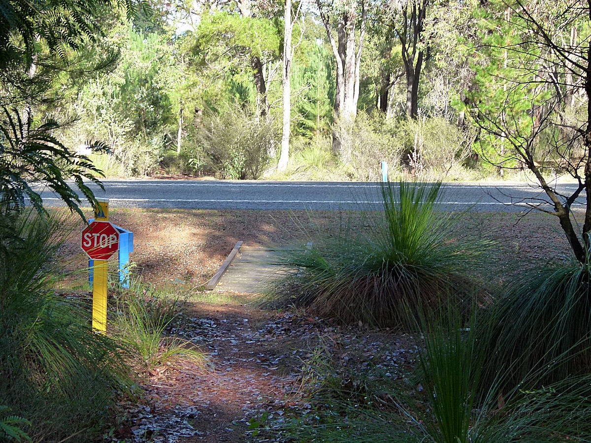 |
Gleneagle - Munda Biddi Trail The Munda Biddi Trail crosses the Albany Highway here. There is a Stop sign warning cyclists of the busy highway just ahead. May 2014. Photos Ref: GEAG005 |
||
 |
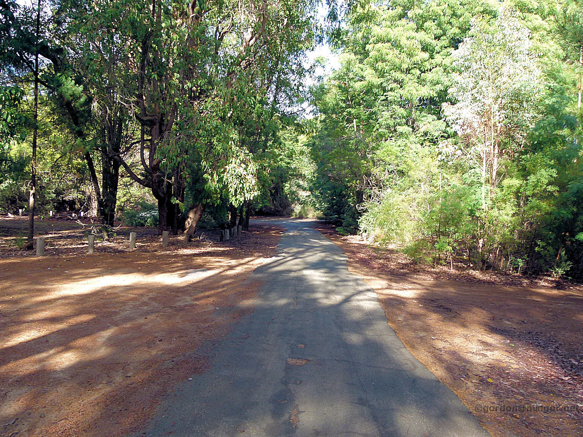
Gleneagle - Old Town Road The access road into old Gleneagle is no more than perhaps one hundred metres long. From there the road splits and encircles the old townsite. The complete circuit is perhaps no more than one kilometre. The road was sealed but has fallen into disrepair although is still navigable for the standard family car. Here is a section of the road in one of the clearings. May 2014. Photos Ref: GEAG006 |
||
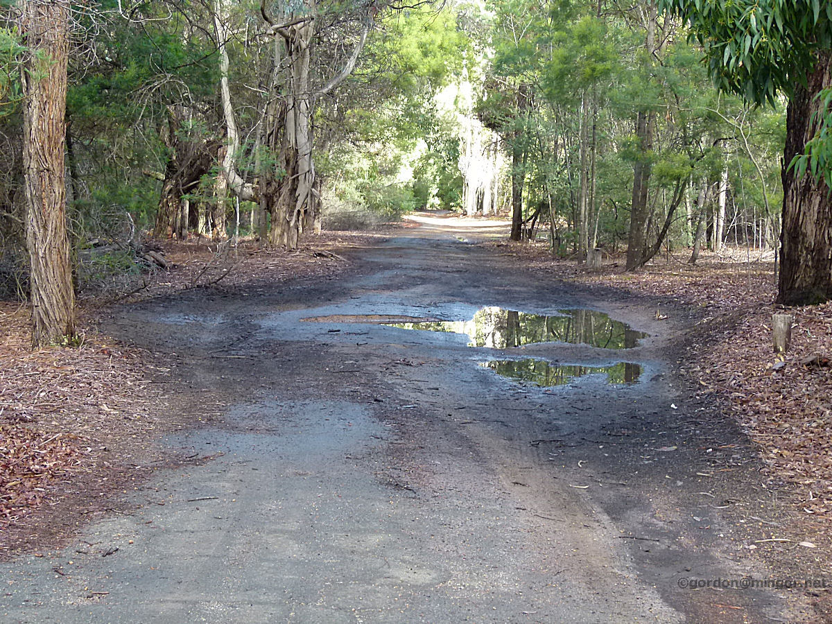 |
Gleneagle - Old Town Road Other sections of the circuit road run through quite heavily treed areas such as this. Gravel tracks run off here and there. In some places, the remains of broken sealed roads run off the main circuit. May 2014. Photos Ref: GEAG007 |
||
 |
Gleneagle - Old Town Road Yet another section of the circuit road. It is interesting walking around here and although no ruins exist, it is quite easy to recognise old settlement evidence by way of introduced species of tree such as oak and others which are surviving well. And, of course, this road. May 2014. Photos Ref: GEAG008 |
||
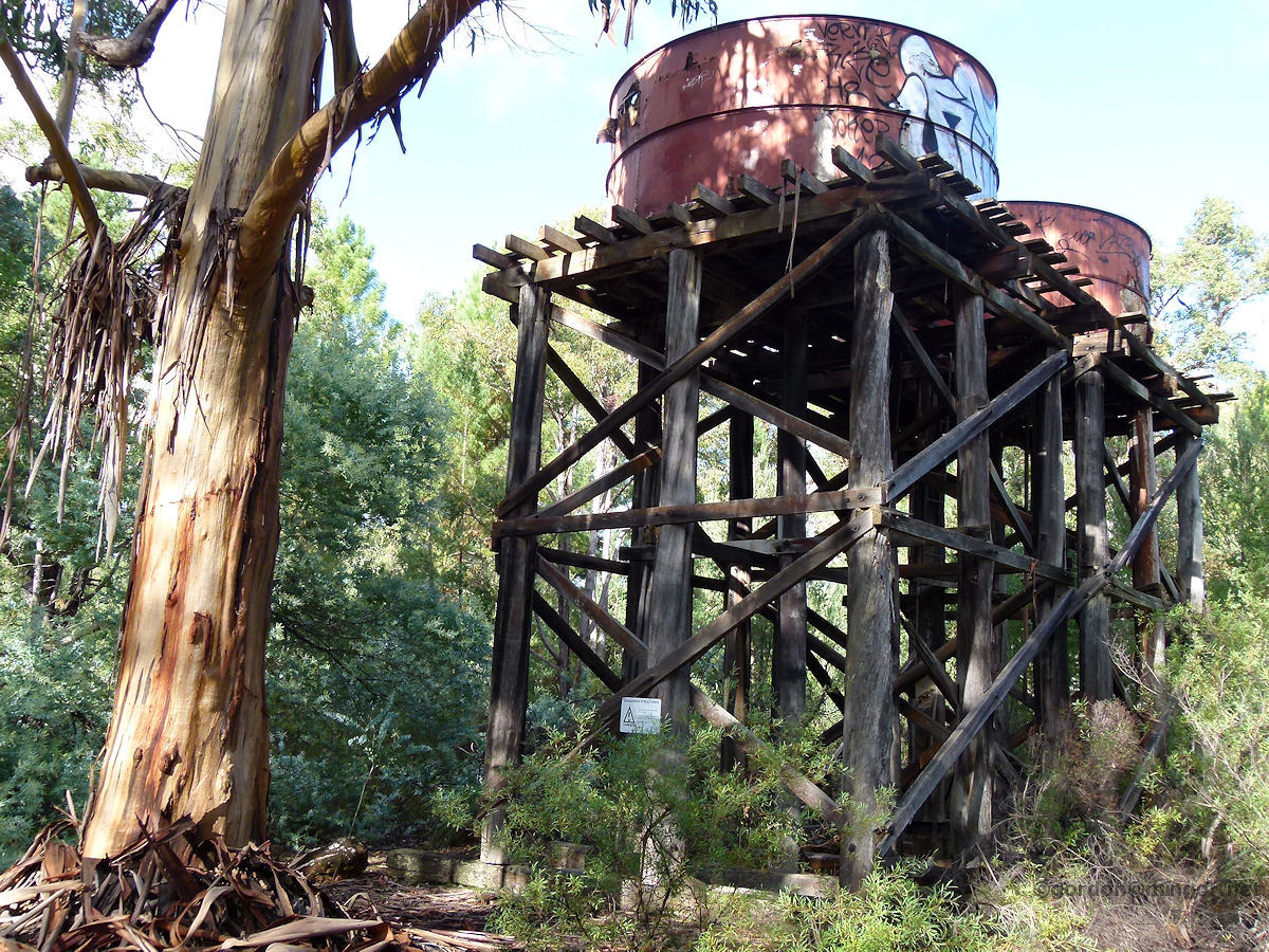 |
Gleneagle - Water Towers All that remains of the old town are these water tanks and towers. For some reason they were not removed when the town was abandoned. In the entrance area to the townsite, there is a modern toilet block which would be useful to the Munda Biddi cycling community and passing highway travellers. May 2014. Photos Ref: GEAG009 |
||
|
|
Gleneagle - Forest Clearing One of the clearings within the old townsite. This might have been the site of a house or the hall or school. The local school was established in 1939 and closed in 1967. May 2014. Photos Ref: GEAG010 |
||
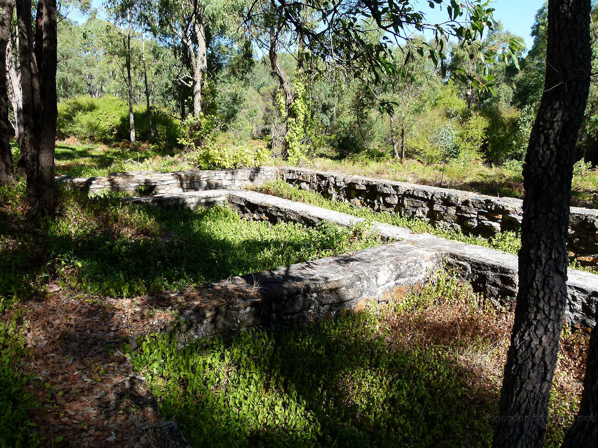 |
Gleneagle - Robertson House Ruins Two kilometres south of the Jarrahdale Road turnoff (on the west side of the highway) is the ruin of the Robertson house. Just the foundations still exist, no bricks on the ground or other rubble remain. It seems then that the upper structure was purposely demolished and removed. Evidence of this early occupation remains through the continued existence of introduced trees and also a thriving grape vine. May 2014. Photos Ref: GEAG011 |
||
 |
Gleneagle - Robertson House Ruins Another look at the Robertson house foundations. There is a nearby plaque dedicated to June Elsie Robertson 1937-2004. This house was later occupied by the Robinson family at least in the 1950's - 1960's. Over a century ago on this site was the "36 Mile Police Station". The station was opened in 1863 and operated until 1896. The building was destroyed in a 1910 bushfire. This may have also been known as Mahogany Flats police station. So the Robertson house was built here at an unknown time but certainly after 1910. May 2014. Photos Ref: GEAG012 |
||
All images published on this website are copyright © of the webmaster. See About section for clarification and special schools permission |
|||