| Photographs of Perth, Western Australia | |||
Porongurup - Photographs of Western Australia The small town of Porongurup is situated on the northern side of the Porongurup Range, around 383 kms south-west of Perth and about 24 kms east of Mount Barker. The townsite and range are located within the Shire of Plantagenet. The name is of Aboriginal origin and is sometimes spelt as Porongorup. This is primarily dairy country however an infant viticulture industry is flourishing. Giant karri trees and speculator range landscapes are popular with tourists |
|||
| West to Mount Barker | East to Kamballup | ||
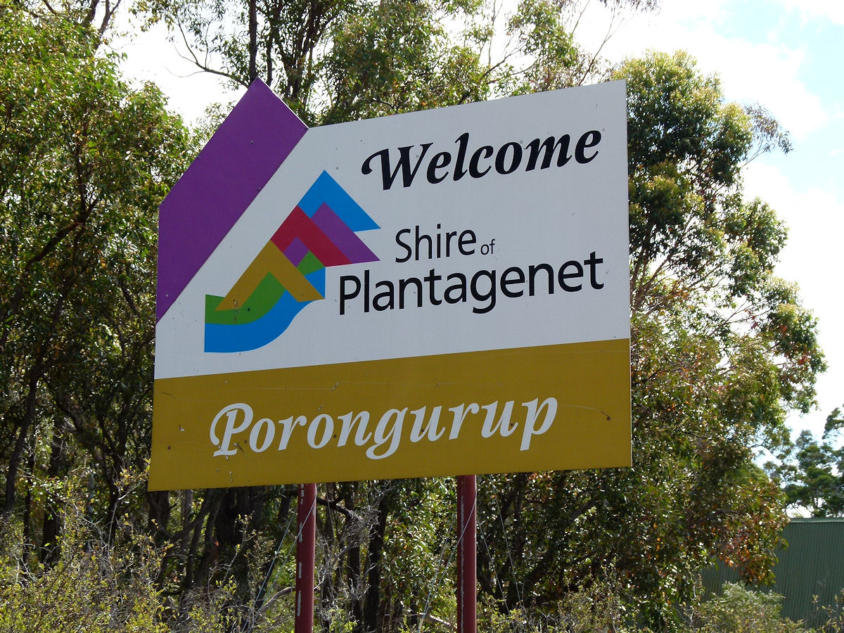 |
Porongurup - Sign Welcome to Porongurup, a very small locality. December 2016. Photos Ref: PORG001 |
||
 |
Porongurup - Hall Here is the Porongurup District Hall which is situated slightly to the east of the centre of town. This hall goes right back to 1913. December 2016. Photos Ref: PORG001 |
||
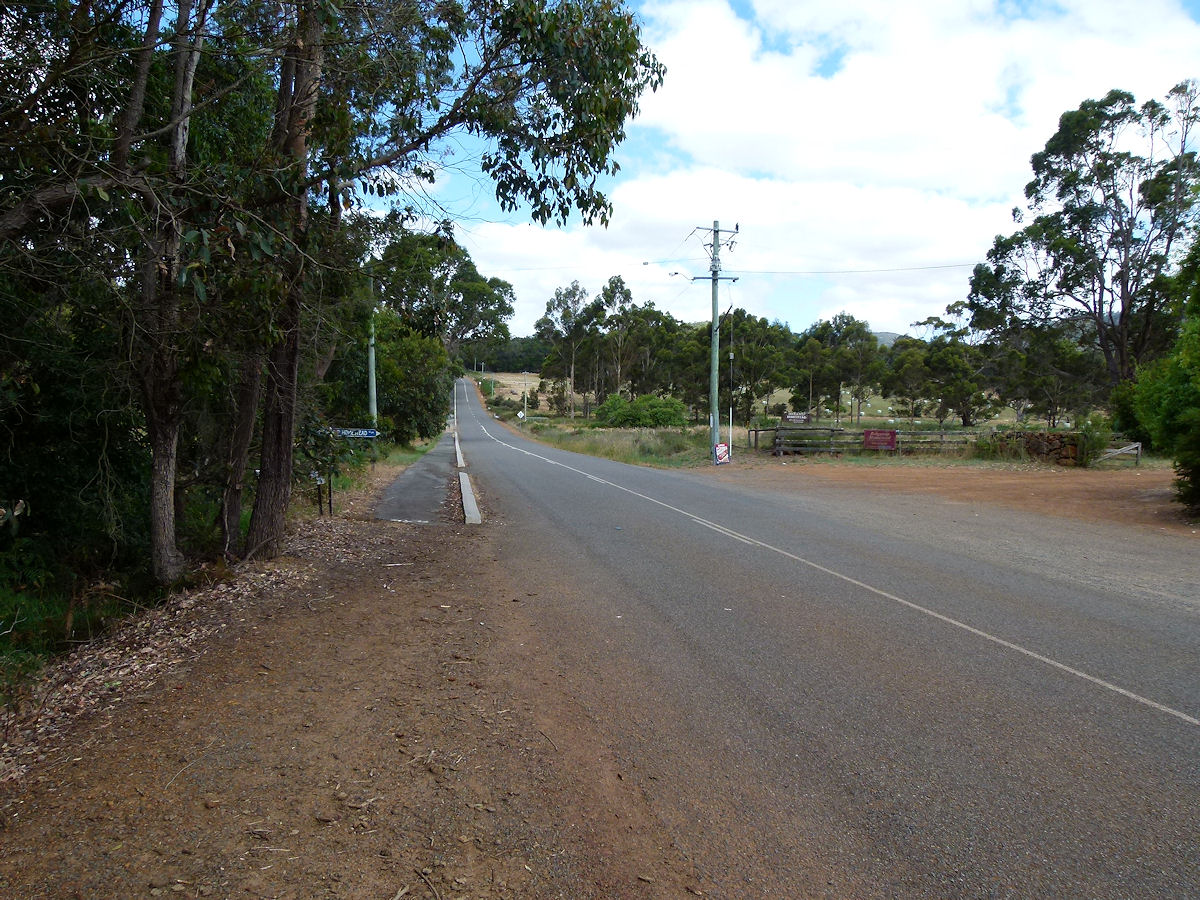 |
Porongurup - Road Looking east along the Porongurup Road. That way leads back to the Stirling Range National Park. December 2016. Photos Ref: PORG001 |
||
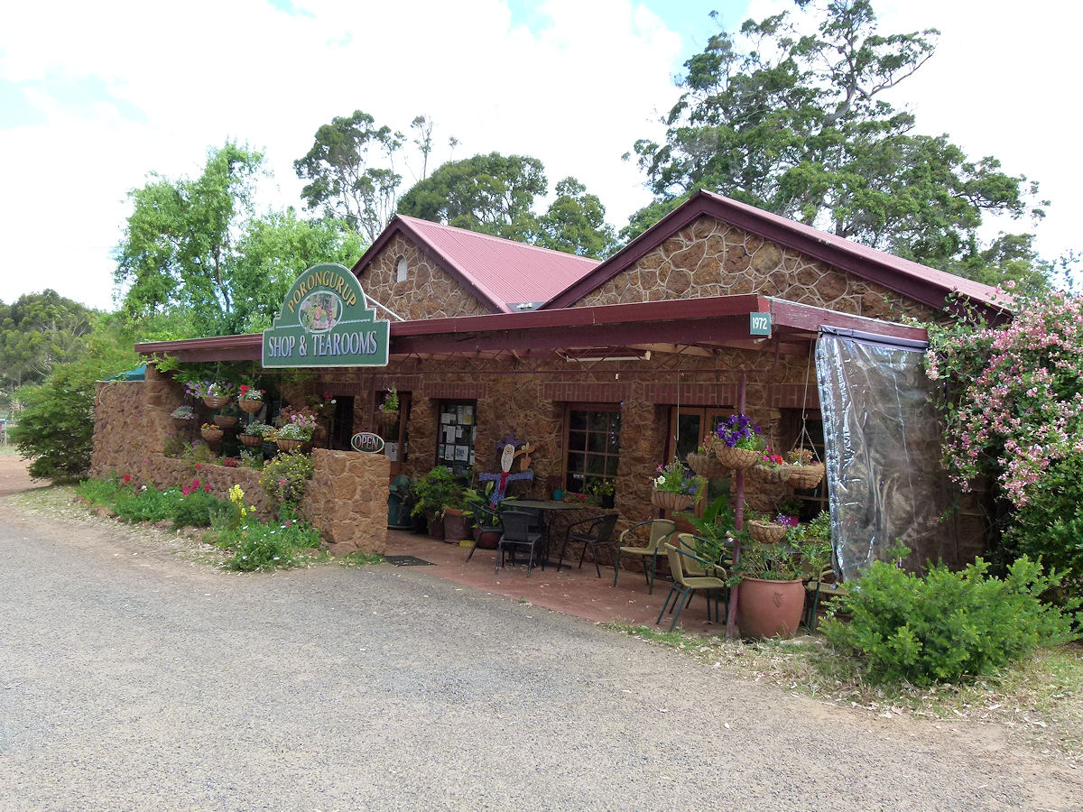 |
Porongurup - Shop and Tearooms The fine Porongurup Shop and Tearooms. This was established in 1937. December 2016. Photos Ref: PORG001 |
||
All images published on this website are copyright © of the webmaster. See About section for clarification and special schools permission |
|||