| Photographs of Perth, Western Australia | |||
Kamballup - Photographs of Western Australia Kamballup is located on the Chester Pass Road between Amelup to the north (and Borden beyond) and the Porongurup Ranges to the south. This locality is on the junction of Woogenilup Road which runs over to Mount Barker. This place is marked on some maps because of the Road House but that, it is evident, closed down some time ago. So many travel websites rarely update. So, welcome to Kamballup, but don't expect to buy fuel here |
|||
| North to Amelup | |||
| West to Porongurup | |||
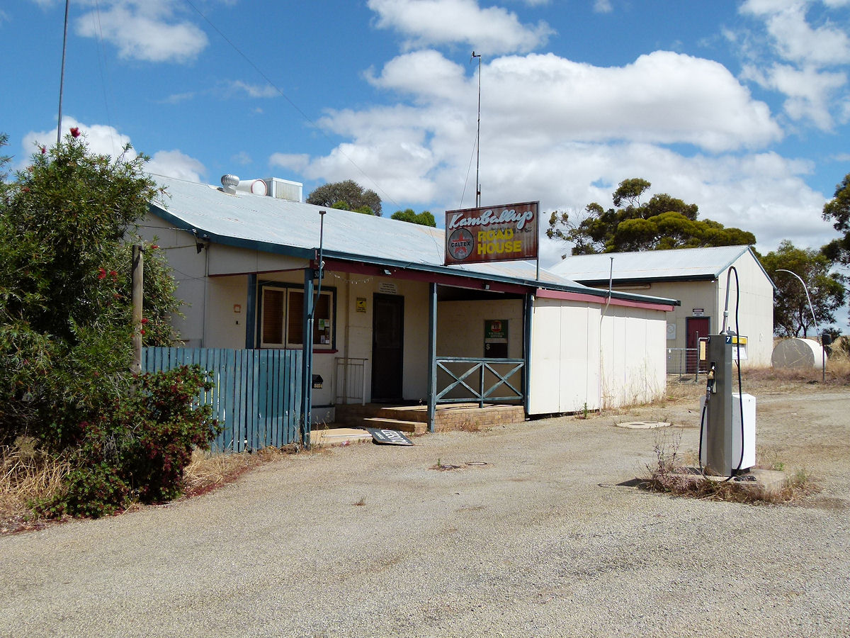 |
Kamballup - Garage The Kamballup road house is all closed up now. This locality is within the Shire of Plantagenet. December 2016. Photos Ref: KAMM001 |
||
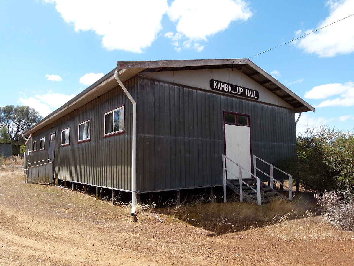 |
Kamballup - Hall Across the road from the road house and a just few metres along the Mount Barker Road is the Kamballup Hall. This was built in the mid 1960's, so it seems. December 2016. Photos Ref: KAMM002 |
||
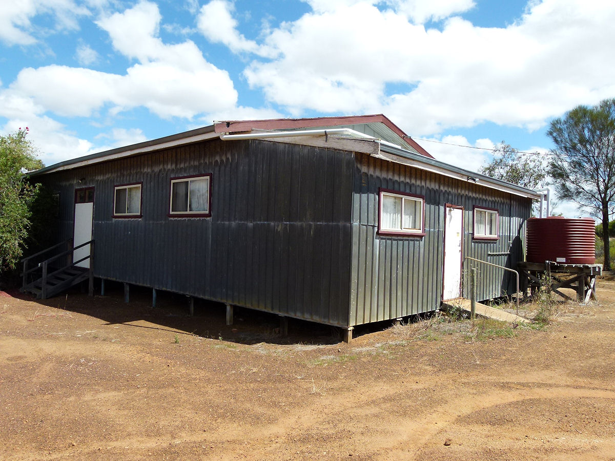 |
Kamballup - Hall A rear view of the hall. A typical good old Aussie bush hall. I wonder who actually uses them? December 2016. Photos Ref: KAMM003 |
||
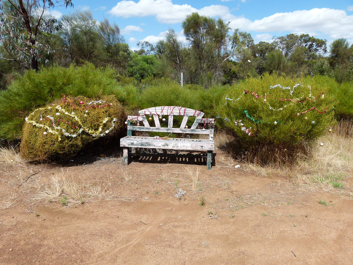 |
Kamballup - Bench at the Hall Someone has used the hall lately. This bench and bushes are right next to the hall and some kind person has gone to the trouble of turning them into a Christmas treat. Very pretty. Your work will live on through this webpage. December 2016. Photos Ref: KAMM004 |
||
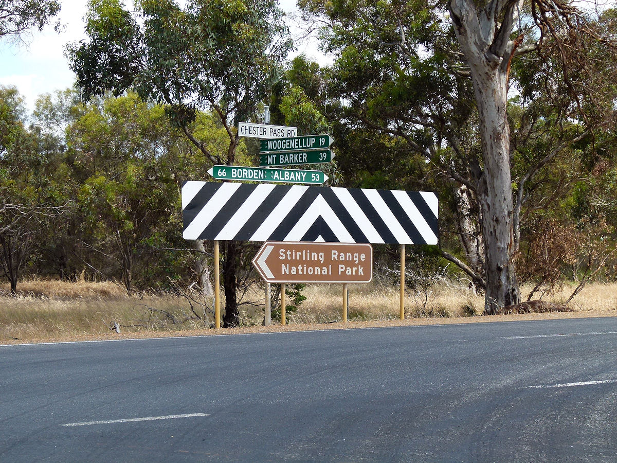 |
Kamballup - Signpost A signpost on the Chester Pass Road may give some perspective of where this place is. December 2016. Photos Ref: KAMM005 |
||
All images published on this website are copyright © of the webmaster. See About section for clarification and special schools permission |
|||