| Photographs of Perth, Western Australia | |||
Como - Photographs of Western Australia Como is situated south of South Perth bounded by the Swan River to the west, Kensington and Bentley to the east, and Manning to the south. In 1891 Mr Edmund Comer ,a farmer from Christchurch, New Zealand, acquired the land. In 1905 subdivision of the area commenced and the name of the development was Como Estate. Como could be a corruption of Mr Comer's surname. Another theory is that it could be named after Lake Di Como in Northern Italy |
|||
| North to South Perth | South to Manning | ||
| West to Canning Bridge | East to Bentley | ||
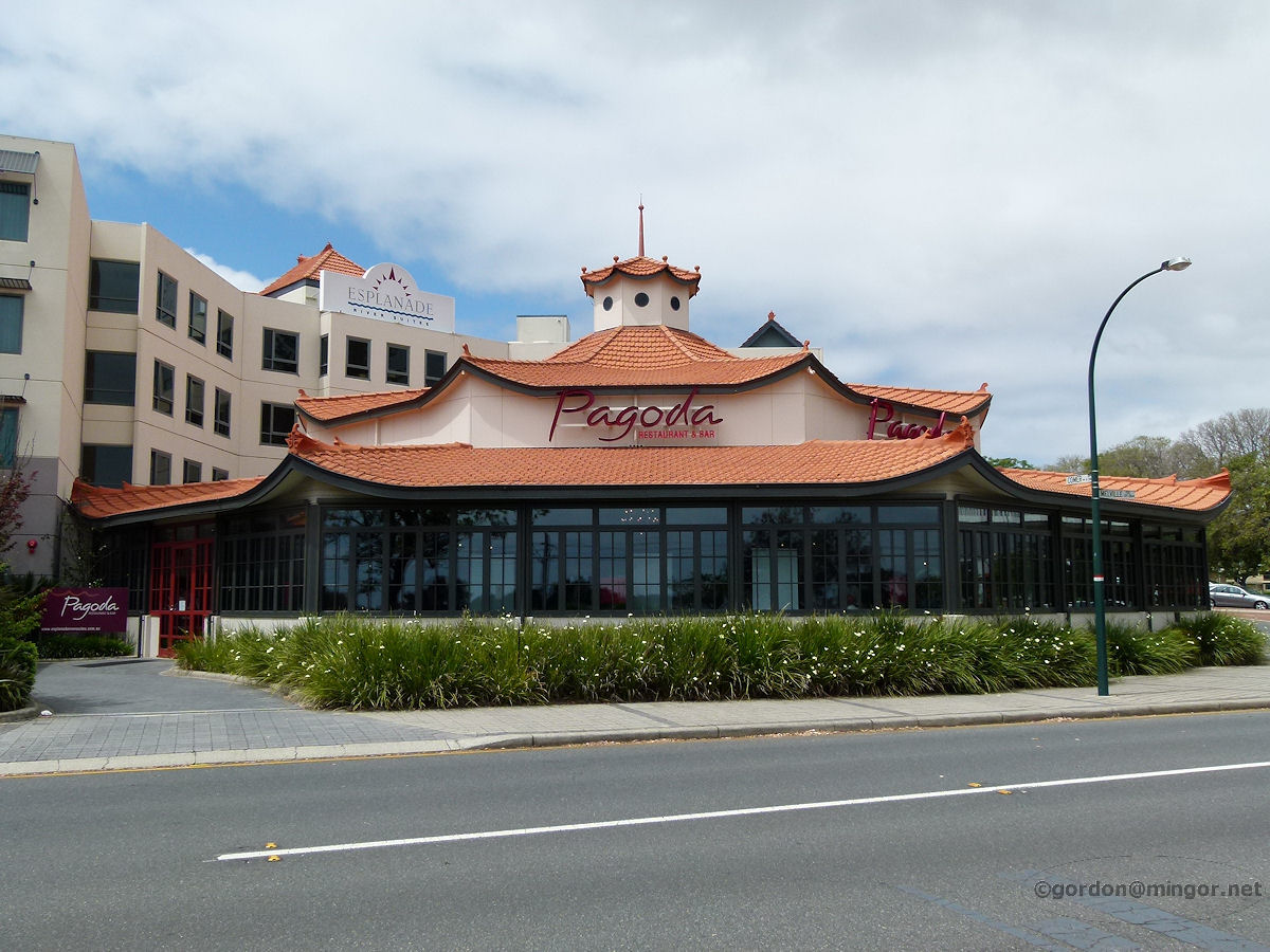 |
Como - Pagoda Hotel and Restaurant The Pagoda on Melville Parade. This has long been a familiar landmark, indeed it has been here as far back as 1922! It was originally built as a dance hall and tea rooms. Today it is known as the Broadwater Pagoda Hotel which boasts luxury accommodation, bars, a restaurant and a function centre. It is on the corner of Comer Street. October 2012. Photos Ref: COMO001 |
||
 |
Como - Preston Street Apartments At the west end of Preston Street is this row of fine apartments. October 2012. Photos Ref: COMO002 |
||
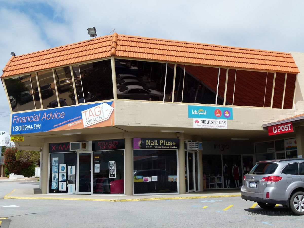 |
Como - Shopping Centre Preston Street The shopping centre on Preston Street at the Labouchere Road end. This building, a part of the shopping centre, has been here for quite a long time and has always reminded me of an airport control tower with those inwards sloping windows. October 2012. Photos Ref: COMO003 |
||
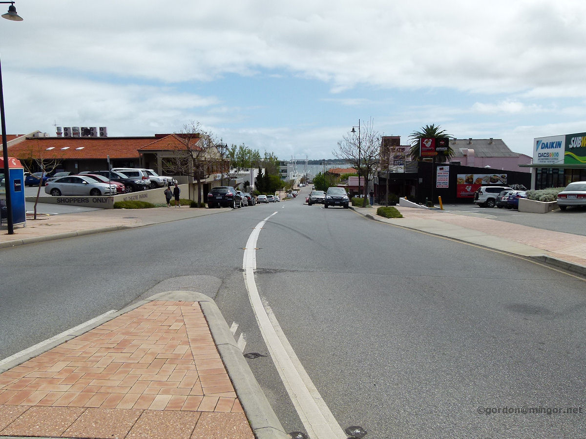 |
Como - View West down Preston Street A view west down Preston Street, apart from Canning Highway this is the main street of the suburb. To the left is the shopping centre. That building with the orange roof is the Karalee Tavern. October 2012. Photos Ref: COMO004 |
||
 |
Como - Cygnet Theatre The Cygnet Theatre on Preston Street. Originally called the Como Theatre, this building was opened in 1938. It is on the state heritage register. This is one of the few original suburban theatres still operating as a movie-house. To the left of screen they have a restaurant. October 2012. Photos Ref: COMO005 |
||
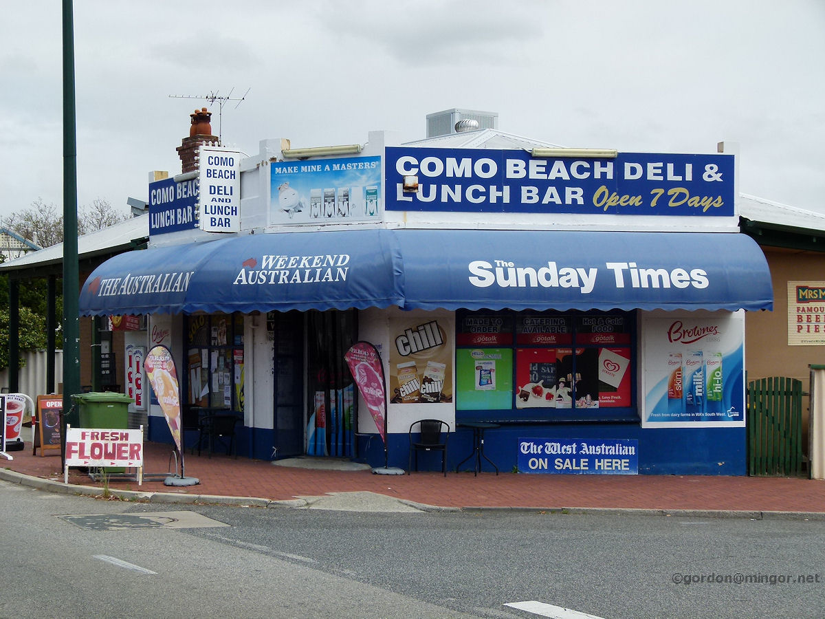 |
Como - Beach Deli Shop On Labouchere Road on the corner of Eric Street is this lovely old shop. Hopefully this will be here for many more decades! October 2012. Photos Ref: COMO006 |
||
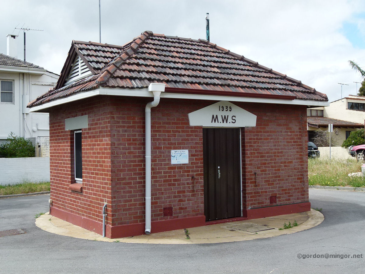 |
Como - Water Supply Pumping Station These tiny little pump houses are dotted all over Perth so I decided to include this one. It is a Metropolitan Water Supply facility built in 1939. October 2012. Photos Ref: COMO007 |
||
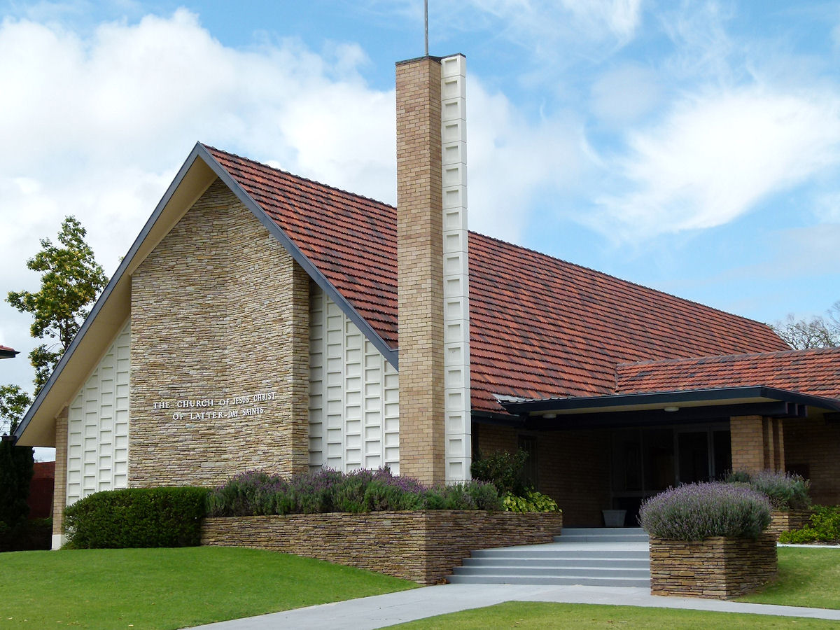 |
Como - Latter Day Saints Church On Labouchere Road is this rather futuristic yet eye-catching Church of Jesus Christ of the Latter Day Saints. It's near the end of Eric Street. October 2012. Photos Ref: COMO008 |
||
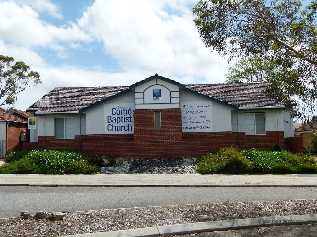 |
Como - Baptist Church Right down at the southern end of Robert Street, just before the road meets the Canning Highway, is the Como Baptist Church. October 2012. Photos Ref: COMO009 |
||
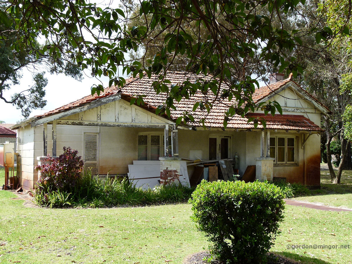 |
Como - Derelict House I don't know why I took this. Oh, yes I do. This derelict house will probably soon be gone so here it is included here for posterity. This is just across from the Baptist Church on Robert Street. October 2012. Photos Ref: COMO010 |
||
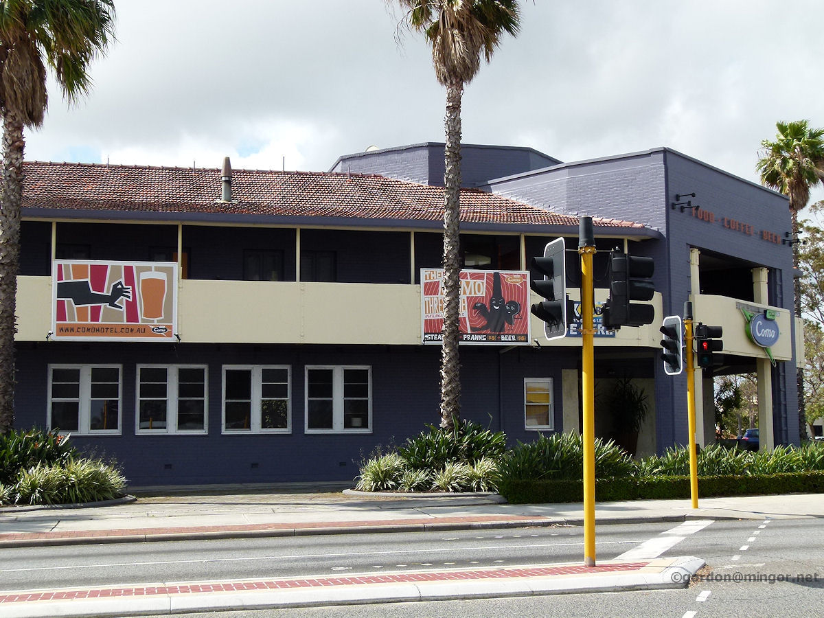 |
Como - Como Hotel Sitting on the north-west corner of Canning Highway and South Terrace is the Como Hotel. The Como - South Perth border is South Terrace and as this pub is on the north side it is technically in South Perth, not Como at all. October 2012. Photos Ref: COMO011 |
||
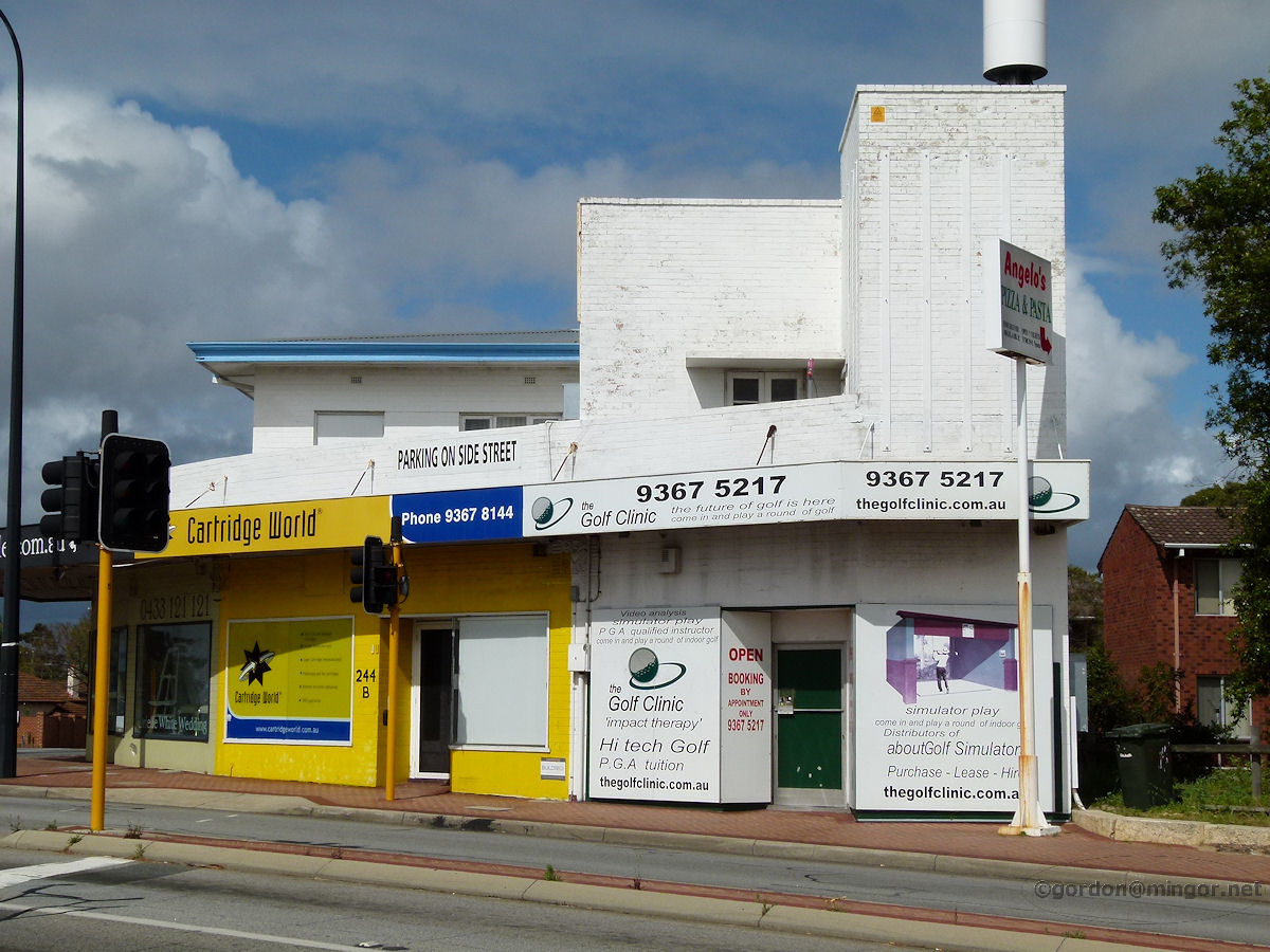 |
Como - Shops on Canning Highway Diagonally opposite from the Como Hotel are these couple of shops on Canning Highway. That white golf shop is looking quite striking in the afternoon sunlight and contrasts well with the yellow ink cartridge next door. October 2012. Photos Ref: COMO012 |
||
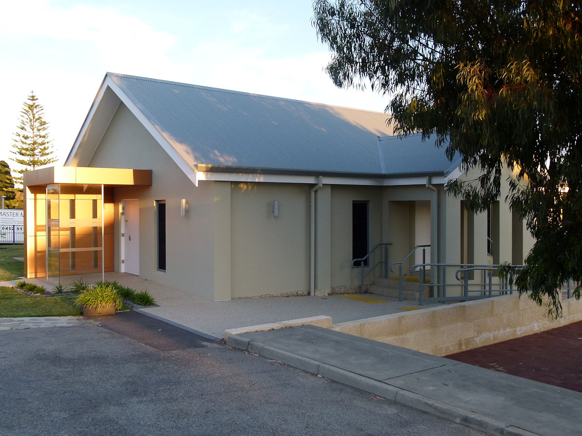 |
Como - Anglican Church Hall On Park Street near Cale Street this is perhaps the St Augustine's Anglican Church Hall or Rectory. The Church is next door. September 2018. Photos Ref: COMO013 |
||
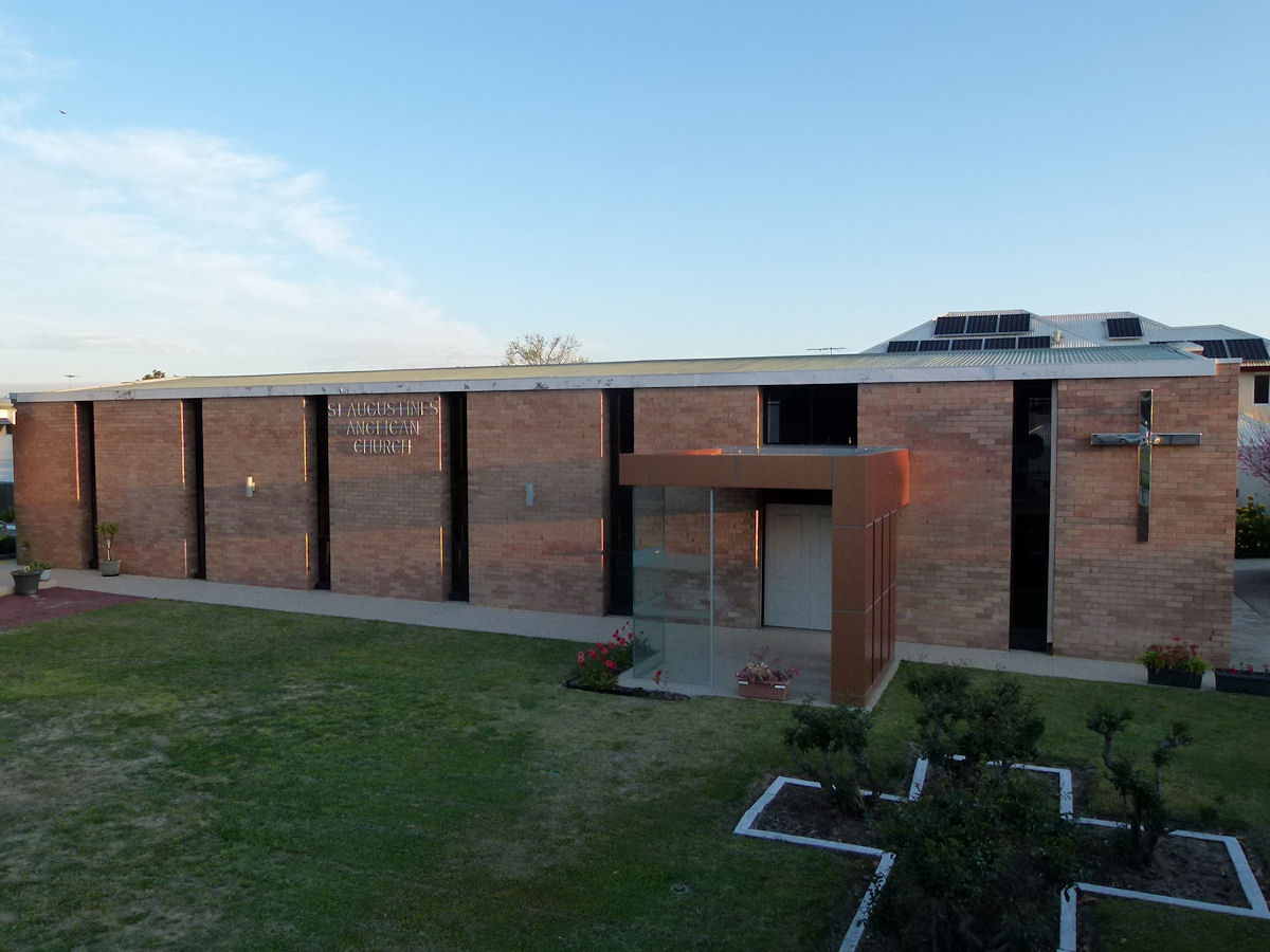 |
Como - Anglican Church This is the St Augustine's Anglican Church, Como, in the Como Manning Parish. September 2018. Photos Ref: COMO014 |
||
 |
Como - Penrhos College Penrhos College traces is roots back to St Anne's Protestant Girl's School which was located on Angelo Street, South Perth, and operated from at least 1951. The college continues to embrace Christian values. The current complex was opened in 1971. Shown is the Thelma Street frontage. September 2018. Photos Ref: COMO015 |
||
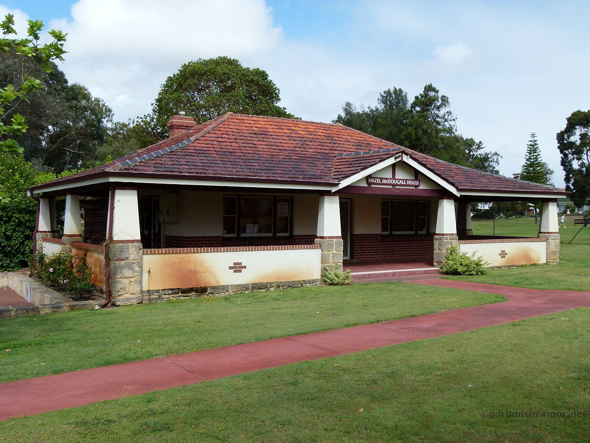 |
Como - Hazel McDougall House On Clydesdale Street adjacent to McDougall Park is the McDougall Dairy Farm and Hazel McDougall House. This, of course, is the house. Mr and Mrs McDougall bought this property in 1914 and the family sold it to the City of South Perth in 1952. Since 1982, Hazel McDougall House has operated as an Art and Craft Centre. October 2012. Photos Ref: COMO016 |
||
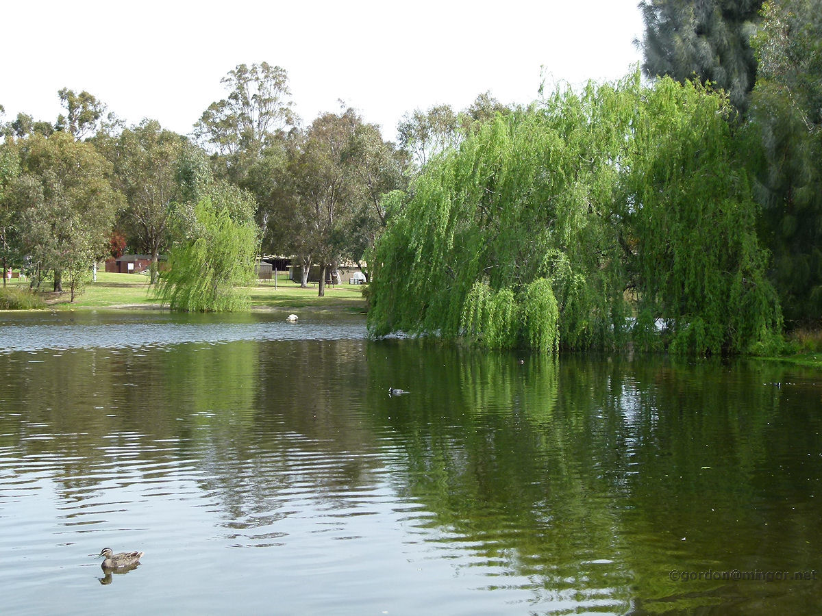 |
Como - McDougall Park Lake The lake in McDougall Park. This is a look west from the Ley Street side. October 2012. Photos Ref: COMO017 |
||
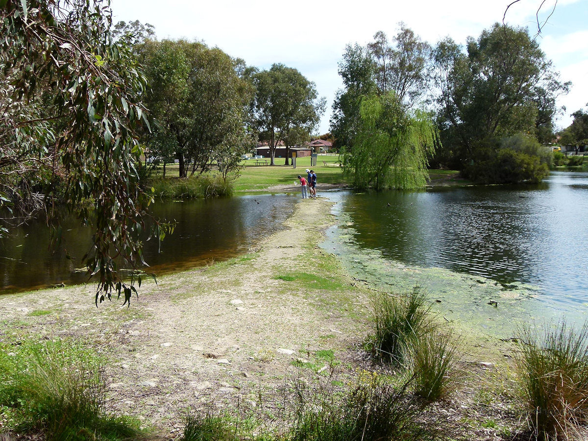 |
Como - McDougall Park Lake A small walkway separates two sections of the lake. This photo looks across the walkway from east to west. Many people are picnicking in the park today, and the place abounds with wild fowl and a few resident seagulls. October 2012. Photos Ref: COMO018 |
||
 |
Como - McDougall Park Lake A final look at the park and lake. This view takes in some of the central island which is a haven away from predators for nesting or resting bird life. This is taken from near Clydesdale Street and therefore looking east. October 2012. Photos Ref: COMO019 |
||
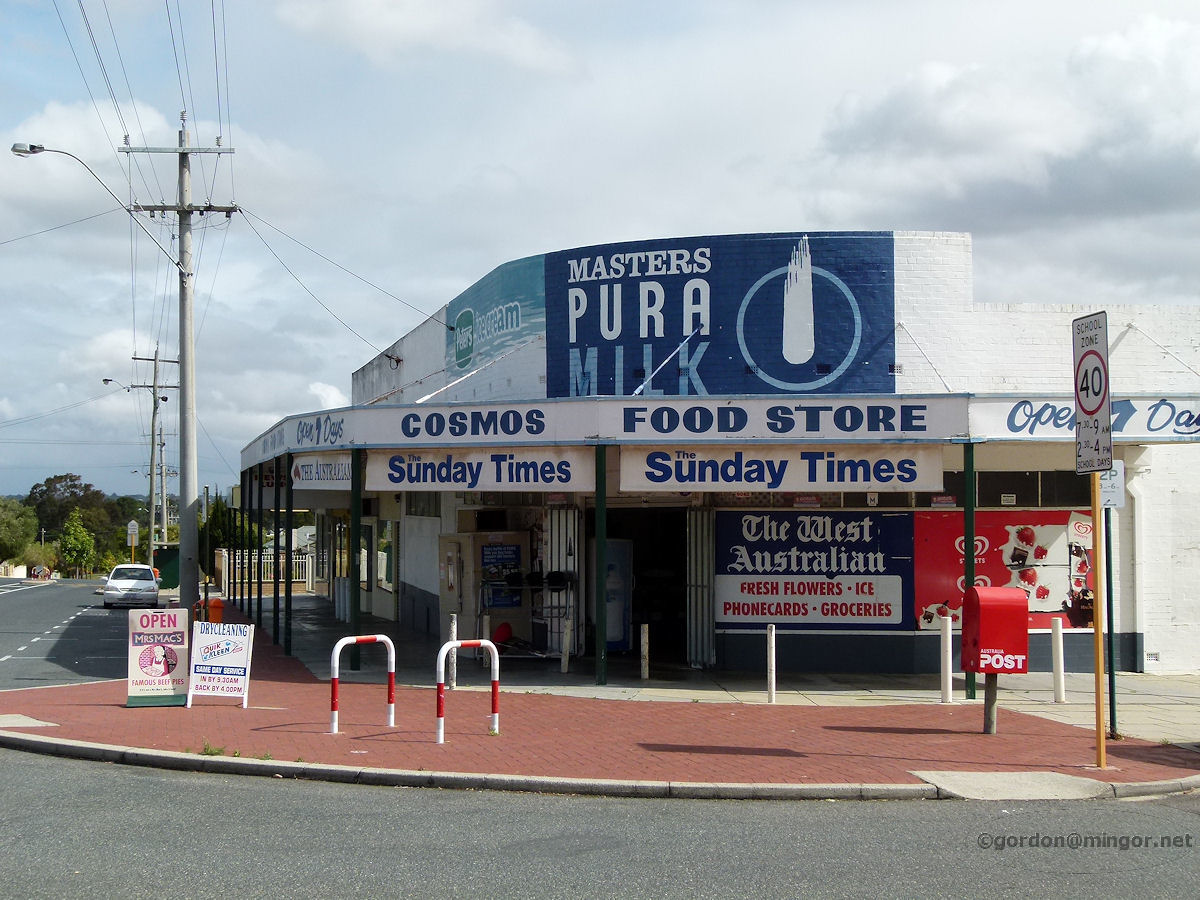 |
Como - Murray Street Shop On Murray Street is the Cosmos Food Store adorned with its predominantly blue and white advertising. I hope this store is operating as such for many years to come. October 2012. Photos Ref: COMO020 |
||
 |
Como - Tempest Music On Ley Street modernisation is starting to occur. This building is home to Tempest Music. November 2014. Photos Ref: COMO021 |
||
 |
Como - Mt Henry Tavern At the western end of Manning Road is the Mount Henry Tavern which used to be simply known as the Manning Hotel. January 2012. Photos Ref: COMO022 |
||
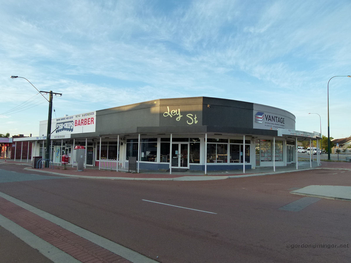 |
Como - Shops Ley Street Ley Street shops on the corner of Manning Road. Vantage International Property is in the foreground. Further down the street is a men's hairdressers and a fish & chip shop. December 2014. Photos Ref: COMO023 |
||
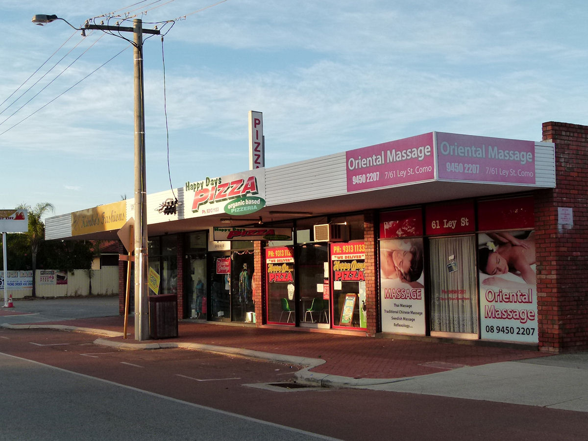 |
Como - Shops Ley Street Oriental Massage, Happy Days Pizza and Kimbo's Fashions on Ley Street. December 2014. Photos Ref: COMO024 |
||
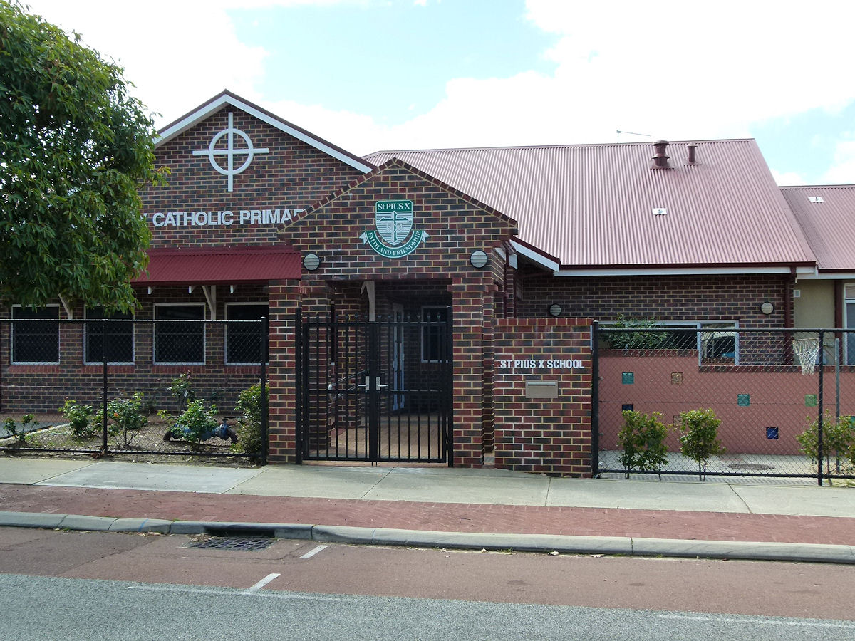 |
Como - St Pius Catholic Primary School St Pius Catholic Primary School is located on the corner of Cloister Avenue and Ley Street in Como. The school was founded by the Sisters of Joseph of the Sacred Heart in 1957. The building was actually opened as a Church on 27th June 1954. The Church is now on Paterson Street. September 2018. Photos Ref: COMO025 |
||
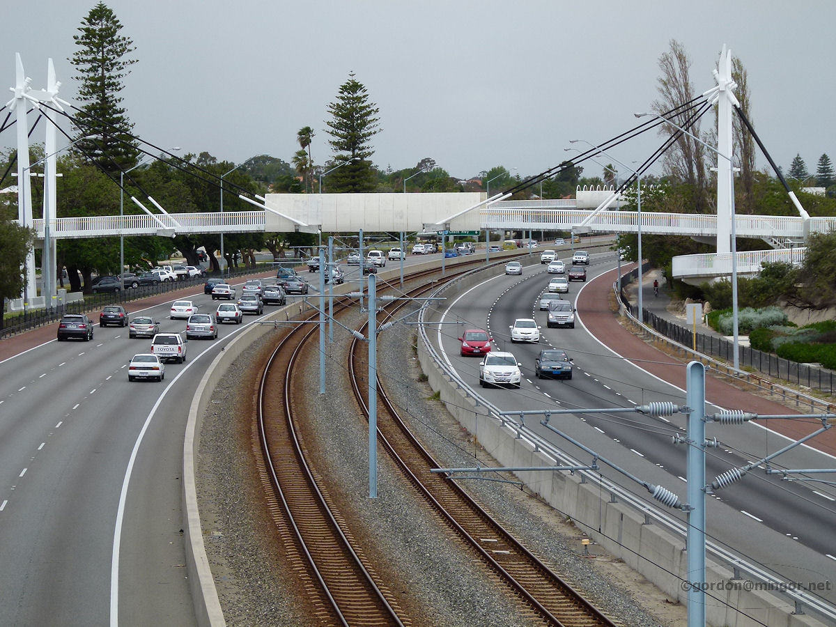 |
Como - Kwinana Freeway Crossing the bridge at the end of Comer Street, this is a view looking south down the Kwinana Freeway. That next bridge joins up with Preston Street. October 2012. Photos Ref: COMO026 |
||
 |
Como - Breakwater on Foreshore On the foreshore on the Swan River between Comer and Preston Streets. There are a number of small breakwaters, bagged like this, or stone. You can see the Como Jetty stretching off to the right and that large apartment block is in Applecross. October 2012. Photos Ref: COMO027 |
||
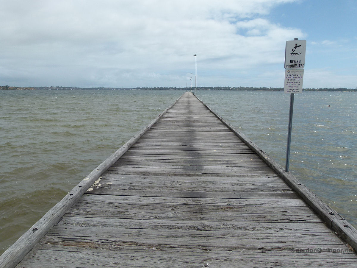 |
Como - Jetty A view up the Como jetty. The suburb of Dalkeith is on the far river bank. At the end of the jetty is a boat mooring facility. October 2012. Photos Ref: COMO028 |
||
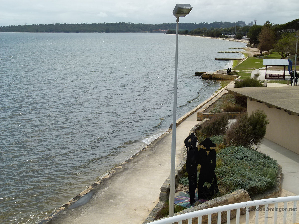 |
Como - Foreshore North A view from the Preston Street freeway overpass looking north along Como foreshore. October 2012. Photos Ref: COMO029 |
||
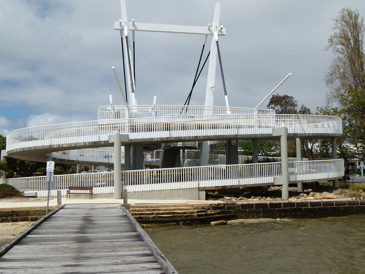 |
Como - Preston Street Bridge Here is a look at the Preston Street overpass bridge taken from the Como jetty. It winds around and around but if you're up to it, there is a stairway. October 2012. Photos Ref: COMO030 |
||
All images published on this website are copyright © of the webmaster. See About section for clarification and special schools permission |
|||