| Photographs of Perth, Western Australia | |||
Greenmount - Photographs of Western Australia The locality of Greenmount is in the foothills of the Darling Scarp to the east of Midland. The name is descriptive taking its name from Greenmount Hill which overlooks the locality. Greenmount straddles the Great Eastern Highway. Greenmount Hill is within the Greenmount National Park which is on the southern side of the highway. The western parts of Greenmount are actually on the coastal plain. Greenmount Hill has been known as such since 1831 |
|||
| North to Swan View | South to Gooseberry Hill | ||
| West to Midland | East to Darlington | ||
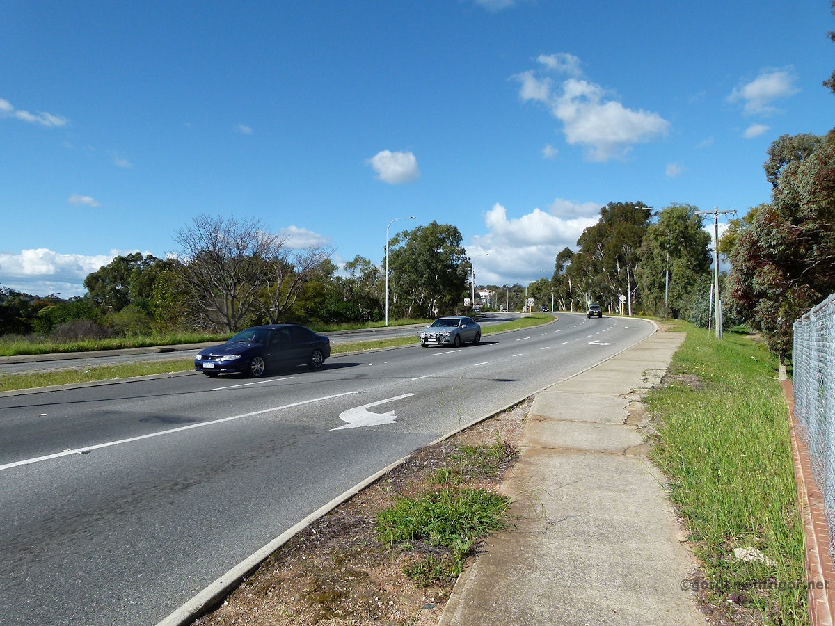 |
Greenmount - Great Eastern Highway looking East After leaving Midland heading east, the Great Eastern Highway commences its ascent into and through the Darling Range. This is looking east along the highway as is goes through Greenmount. September 2010. Photos Ref: GRMT001 |
||
 |
Greenmount - Hall The Greenmount Hall sits on the corner of Great Eastern Highway and Scott Street in Welbourne Park. The building looks of asbestos and iron construction. Inside is spacious with a wooden floor. It also has a bright and clean kitchen facility. The hall was built in 1956. September 2010. Photos Ref: GRMT002 |
||
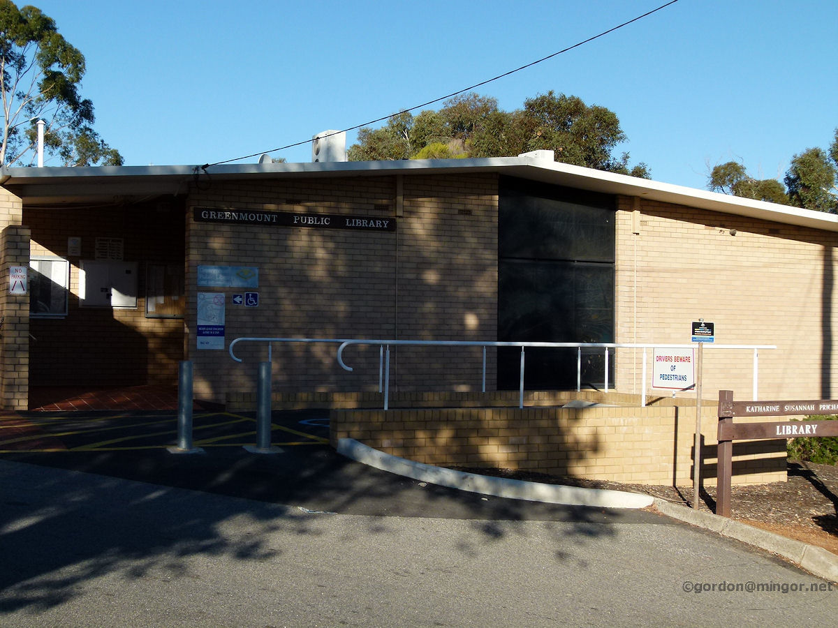 |
Greenmount - Library The Greenmount Public Library sits next to the Hall a little down Scott Street. June 2011. Photos Ref: GRMT003 |
||
 |
Greenmount - Marloo Theatre The Marloo Theatre on Marloo on Marloo Road was established in 1956 by the Darlington Theatre Players Inc. December 2015. Photos Ref: GRMT004 |
||
 |
Greenmount - Blackboy Hill Memorial This is the Blackboy Hill Memorial on what is left of the campsite where soldiers assembled and trained before going off to action in Europe and the Middle East in World War I. The original campsite took in grounds which are now occupied by the local primary school and Catholic church. December 2015. Photos Ref: GRMT005 |
||
 |
Greenmount - Summit This is a view of the summit of Greenmount taken from the down where Waylen Road leaves the Great Eastern Highway. December 2015. Photos Ref: GRMT006 |
||
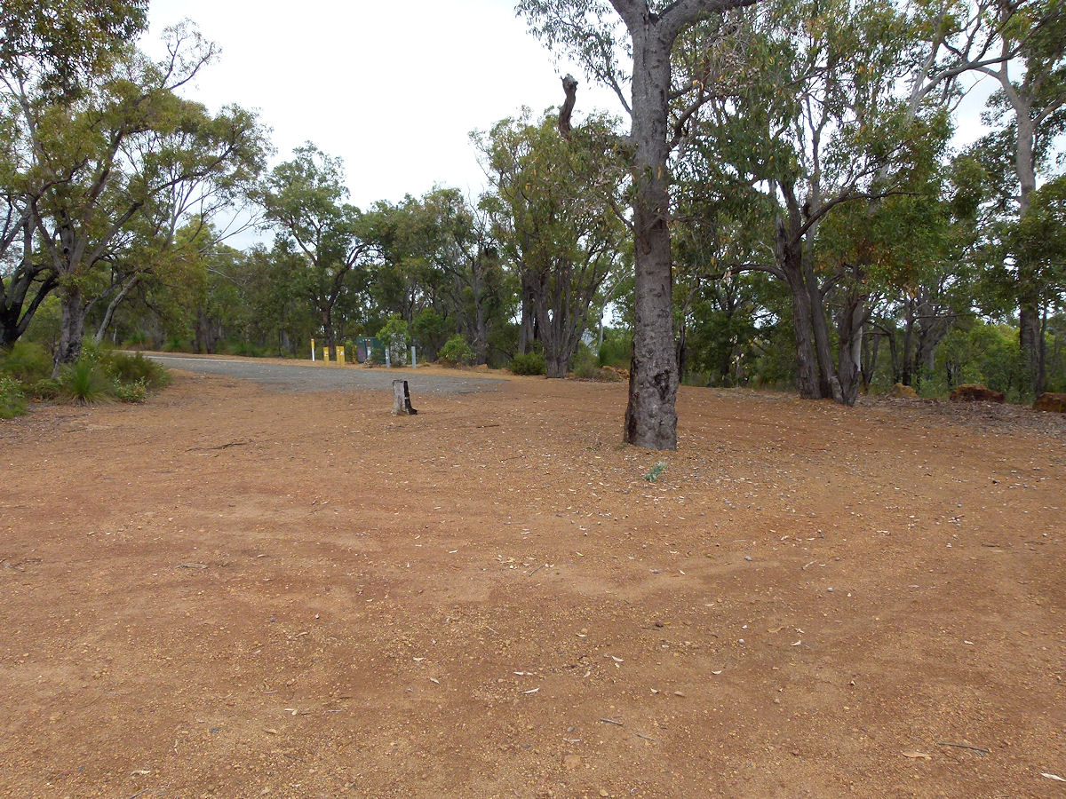 |
Greenmount - Summit Track To get to the top of Greenmount can be a tricky as the roads and road signs can be a little hard to follow. The simplest way to to leave Great Eastern Highway at Ferguson Road which runs into Padbury Road. Follow Padbury Road all the way to the National Park road barrier then follow the sealed and easy track on foot for about 15 minutes. December 2015. Photos Ref: GRMT007 |
||
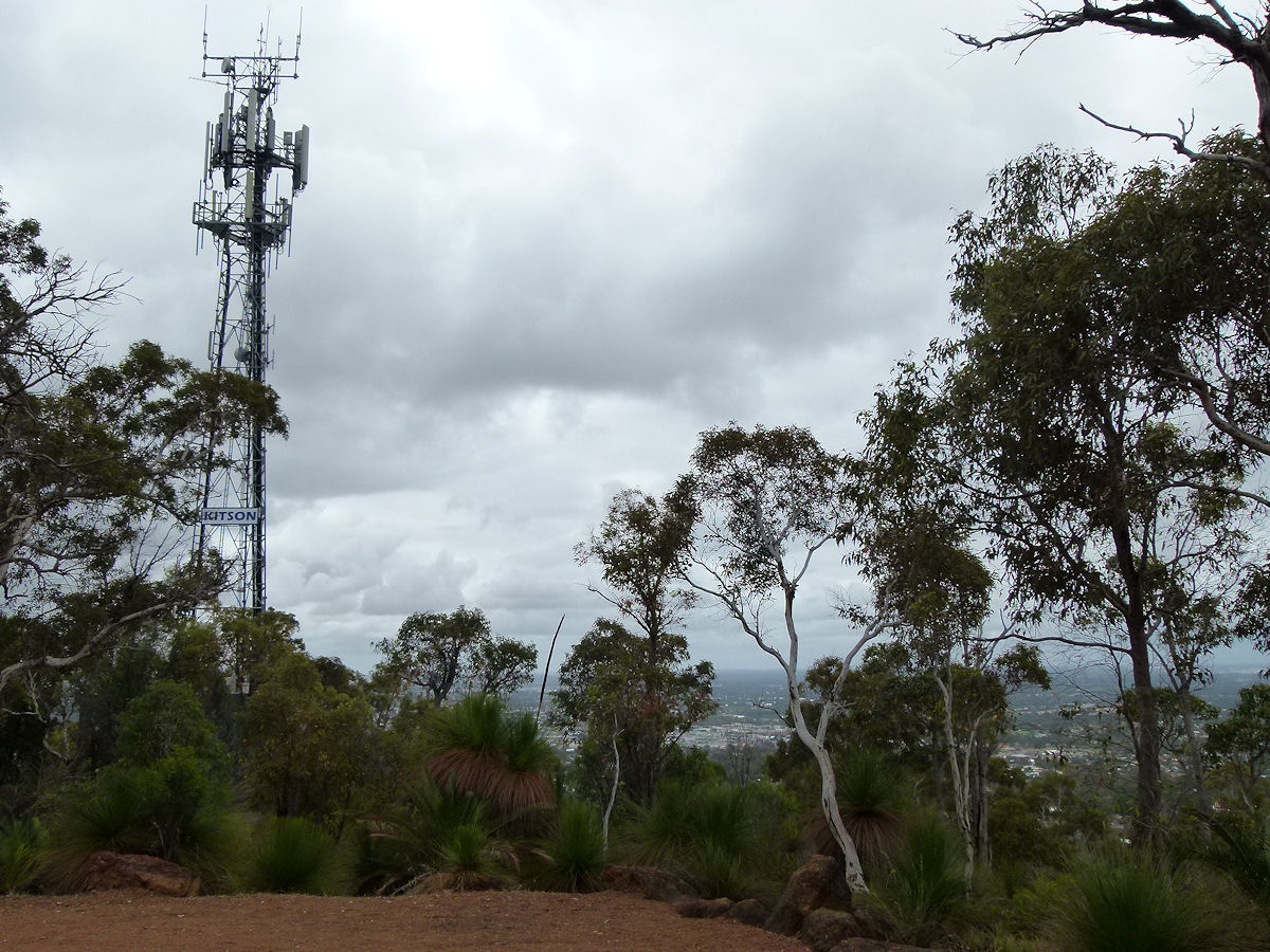 |
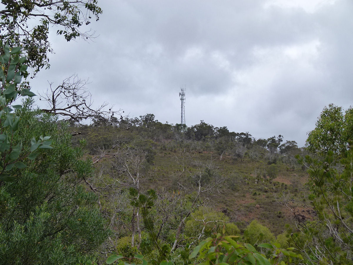
Greenmount - Summit Tower The telecommunications tower atop Greenmount. December 2015. Photos Ref: GRMT008 |
||
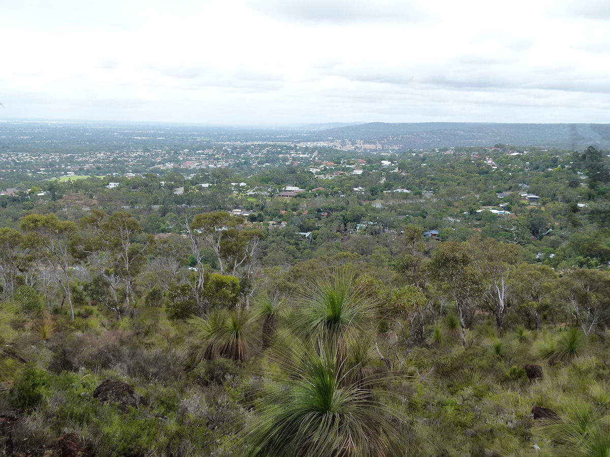 |
Greenmount - Summit View North Looking north from the Greenmount summit. The Great Eastern Highway runs across the picture. December 2015. Photos Ref: GRMT009 |
||
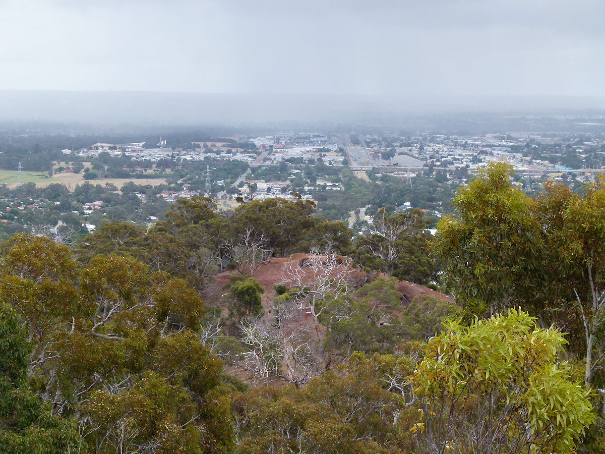 |
Greenmount - Summit View West Looking west from the Greenmount summit over another smaller hill on a drizzly day. You might be able to just make out the railway line running into Midland and the new hospital just to the left of that. December 2015. Photos Ref: GRMT010 |
||
All images published on this website are copyright © of the webmaster. See About section for clarification and special schools permission |
|||