| Photographs of Perth, Western Australia | |||
Greenwood - Photographs of Western Australia Greenwood is one of Perth's newer northern suburbs located between Duncraig and Marangaroo. A large quantity of land in the area was acquired by the Gold Land Development Corporation in 1969. At that time there was very little development north of Morley Drive except for old established suburbs such as Wanneroo. Greenwood takes its name from the developer's promotional name of Greenwood Forest. By the mid-1970's the area was well established |
|||
| North to Kingsley | South to Warwick | ||
| West to Duncraig | |||
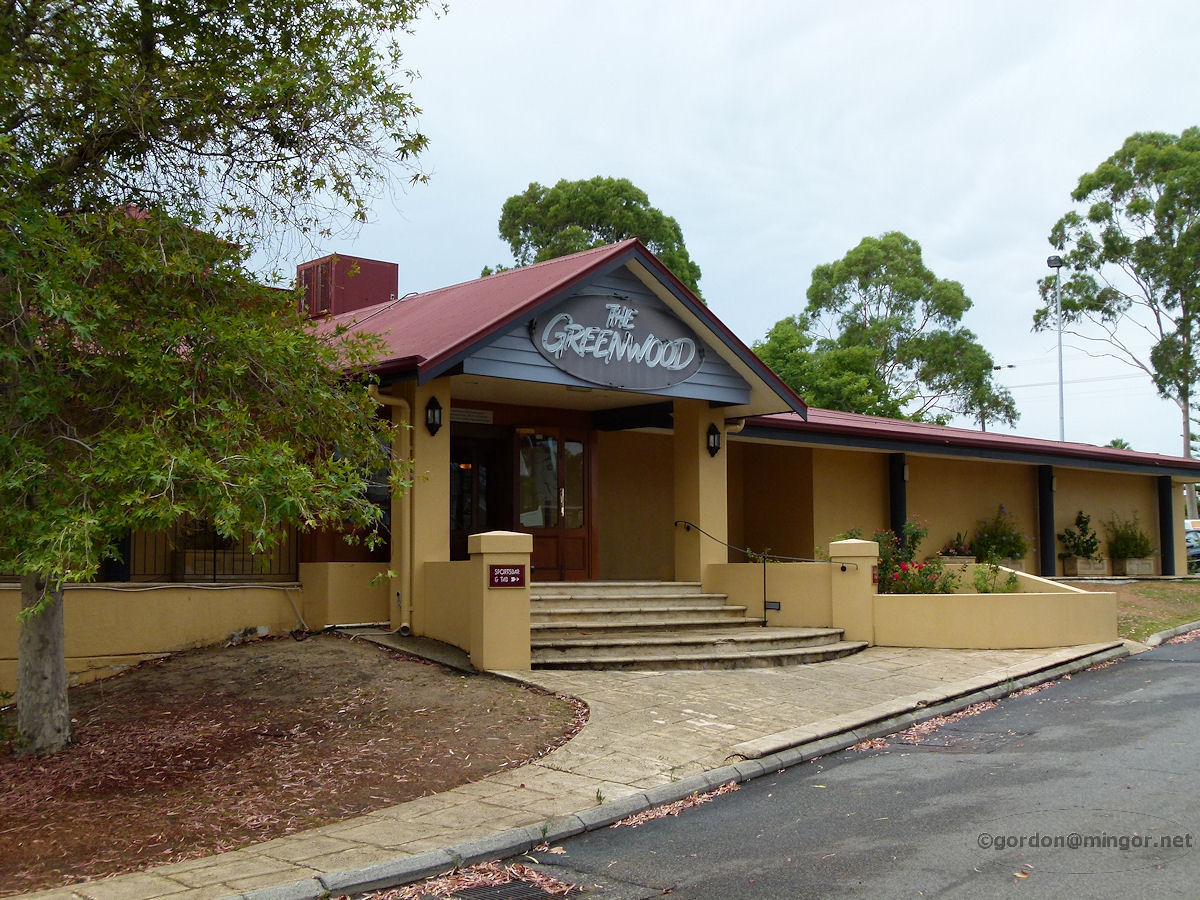 |
Greenwood - Tavern The Greenwood Tavern is located next to the Greenwood shopping centre off Warwick Road and Coolibah Drive. January 2011. Photos Ref: GRWD001 |
||
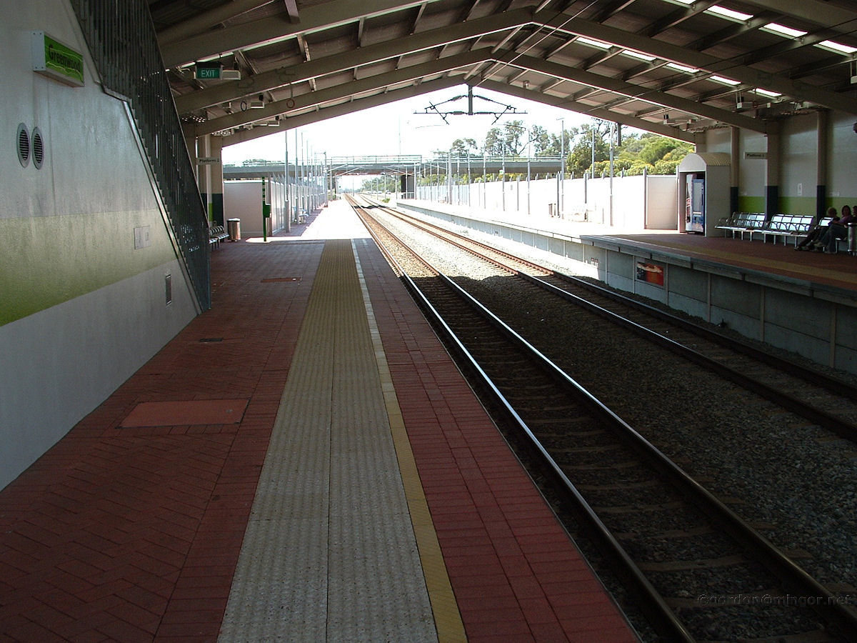 |
Greenwood - Railway Station This is Greenwood Station which is located between Warwick and Whitfords. The station was built some years later than those two mentioned. October 2007. Photos Ref: GRWD002 |
||
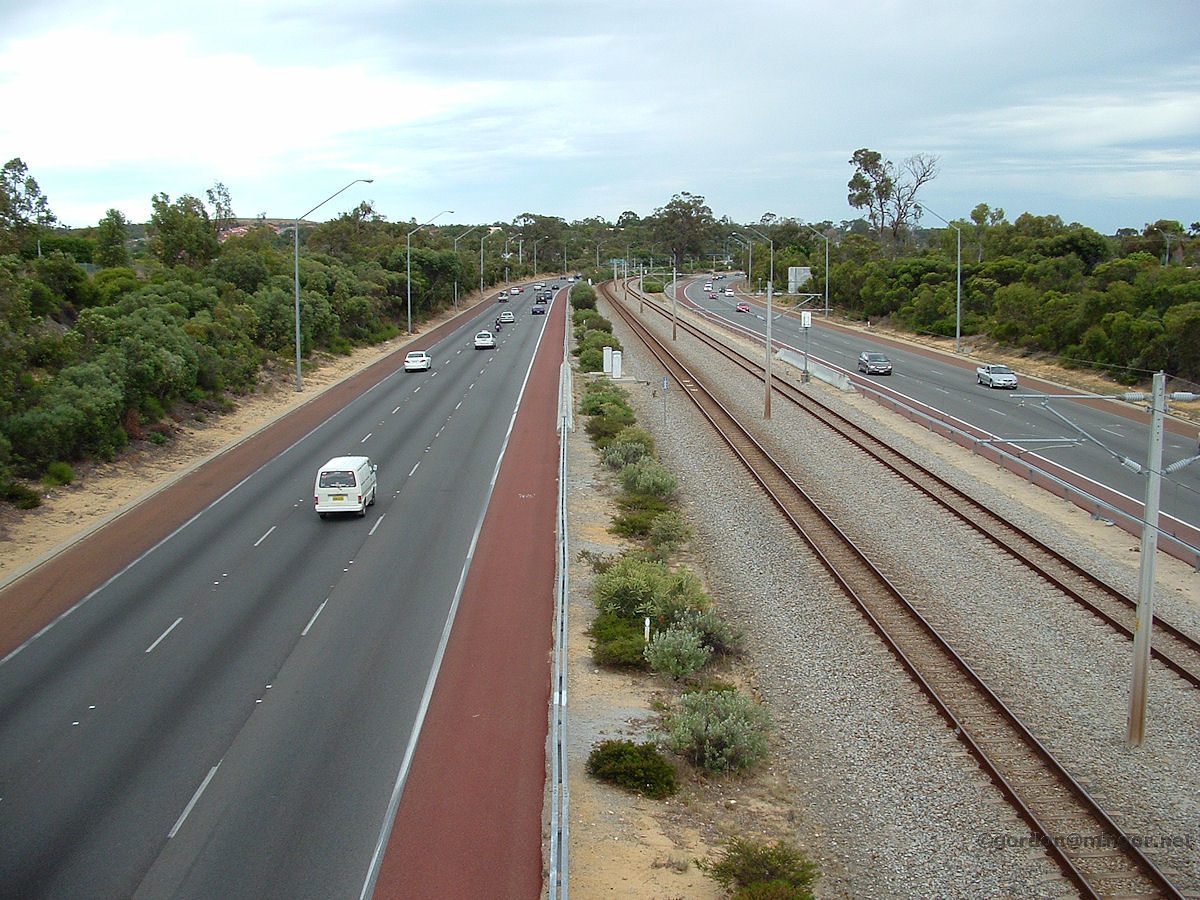 |
Greenwood - Mitchell Freeway looking North On the bridge just south of Greenwood train station looking north back towards the station that's just around the corner. October 2007. Photos Ref: GRWD003 |
||
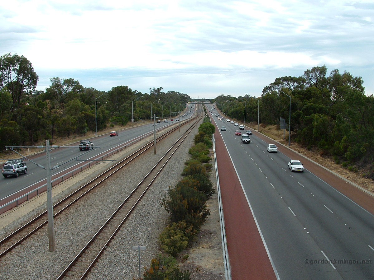 |
Greenwood - Mitchell Freeway looking South On the bridge looking south, down the Mitchell Freeway and back towards Warwick train station. October 2007. Photos Ref: GRWD004 |
||
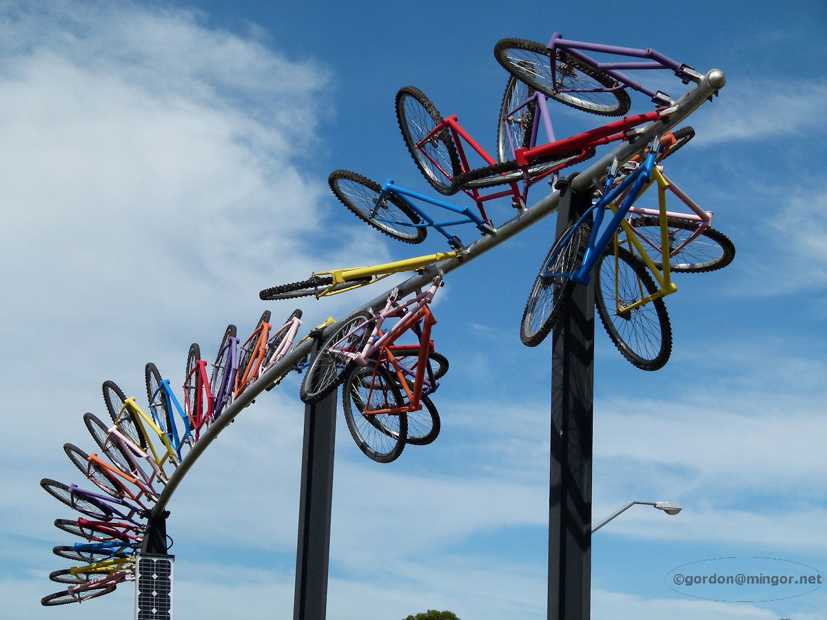 |
Greenwood - Station Bicycles Sculpture A rather innovative structure built from bits of old bikes. This is just outside Greenwood railway station. March 2014. Photos Ref: GRWD005 |
||
All images published on this website are copyright © of the webmaster. See About section for clarification and special schools permission |
|||